Transport Functions
Port
Rail
Airport
Hub Profile
Place type
Provincial seat
Region
Nouvelle-Aquitaine
Population
76,810
Time zone
Europe/Paris
Elevation
13 m
Logistics facilities
1
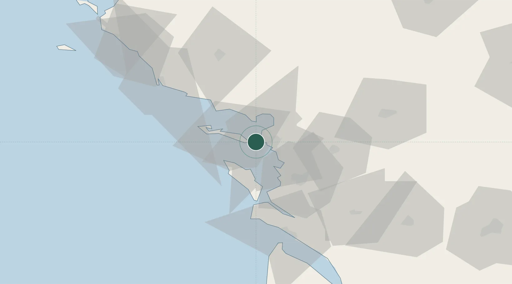
Location
Nearby Logistics Neighbours
Cities
- 1la Pallice1 km
- 2Aytré9 km
- 3Périgny10 km
- 4Saint-Martin-de-Ré12 km
- 5La Jarne13 km
Ports
- 1La Pallice1 km
- 2Rochefort33 km
- 3Tonnay Charente35 km
- 4Les Sables D' Olonne59 km
- 5Le Verdon69 km
Airports
Trade Zones
- 1ZFU La Rochelle0 km
- 2ZFU Nantes et Saint-Herblain124 km
- 3ZFU Saint-Nazaire148 km
- 4Port de Bordeaux149 km
- 5ZFU Angers154 km
DatabookThe Record of Consolidated Knowledge
France beyond logistics?