Transport Functions
Port
Rail
Road
Hub Profile
Place type
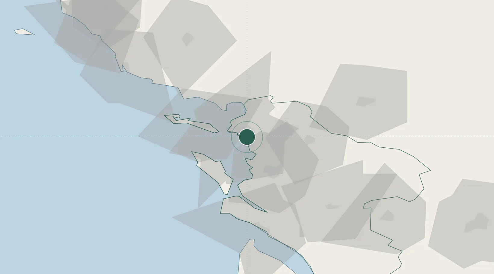
Populated place
Region
Nouvelle-Aquitaine
Population
8,335
Time zone
Europe/Paris
Elevation
10 m
Location
Nearby Logistics Neighbours
Cities
- 1Périgny2 km
- 2La Jarne3 km
- 3La Jarrie6 km
- 4Châtelaillon-Plage8 km
- 5Sainte-Soulle9 km
Ports
- 1La Rochelle4 km
- 2La Pallice10 km
- 3Rochefort25 km
- 4Tonnay Charente27 km
- 5Le Verdon65 km
Airports
Trade Zones
- 1ZFU La Rochelle9 km
- 2ZFU Nantes et Saint-Herblain130 km
- 3Port de Bordeaux143 km
- 4ZFU Hauts de Garonne151 km
- 5ZFU Angers155 km
DatabookThe Record of Consolidated Knowledge
France beyond logistics?