Medium airport · France

Niort - Marais Poitevin AirportLFBN
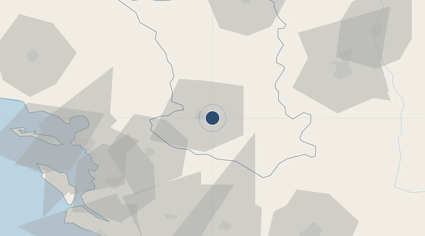
46.3135°, -0.3945°
5,774 ft
Longest runway
1
Runways
203 ft
Elevation

Runway & Layout

Niort - Marais Poitevin Airport runway & taxiway layout
Runway & taxiway layout — OpenStreetMap (ODbL) / OurAirports

Radio Frequencies

APP
122.55 MHz
COGNAC APP
AFIS
119.1 MHz
NIORT INFO
OurAirports

Runways · 1

RunwayDimensions SurfaceTrue headingLit
07/25 5,774 × 98ft Asphalt 068°
OurAirports

Airport Specifications

IATA code
NIT
OurAirports
ICAO code
LFBN
OurAirports
Airport class
Medium airport
OurAirports
Scheduled service
No
OurAirports
Runway surface
Asphalt
OurAirports
Served city
Niort/Souché
OurAirports

Location

Location of LFBN
Natural Earth 10m (public domain) · Deux-Sèvres · LFBN · 46.31, -0.39GoogleOSMYandex

Nearby Logistics Neighbours

Airports
  1. 1Poitiers-Biard Airport62 km
  2. 2La Rochelle Île de Ré Airport63 km
  3. 3Rochefort-Saint-Agnant (BA 721) Airport66 km
  4. 4Cognac-Châteaubernard (BA 709) Air Base73 km
  5. 5Angoulême Brie-Champniers airport81 km
Nearest neighbours — logibook spatial index (haversine) over the source coordinates
Cities
  1. 1Aiffres4 km
  2. 2Niort6 km
  3. 3Les Fosses8 km
  4. 4Thorigné12 km
  5. 5Saint-Maixent-l'École19 km
Nearest neighbours — logibook spatial index (haversine) over the source coordinates
Ports
  1. 1Tonnay Charente58 km
  2. 2Rochefort60 km
  3. 3La Rochelle61 km
  4. 4La Pallice65 km
  5. 5Le Verdon99 km
Nearest neighbours — logibook spatial index (haversine) over the source coordinates
Trade Zones
  1. 1ZFU La Rochelle65 km
  2. 2ZFU Angers131 km
  3. 3ZFU Nantes et Saint-Herblain142 km
  4. 4Port de Bordeaux157 km
  5. 5ZFU Hauts de Garonne166 km
Nearest neighbours — logibook spatial index (haversine) over the source coordinates
DatabookThe Record of Consolidated Knowledge
France beyond logistics?
Browse databook

All Sources

AirportsOurAirports
Public domain
Portsthe NGA World Port Index
Public domain (US gov)
LocationsUN/LOCODE
UN/LOCODE — free
Trade Zonesthe World Bank SEZ database
CC BY 4.0
Trade ZonesOpen Zone Map
CC BY
InfrastructureOpenStreetMap
ODbL 1.0
← France airports