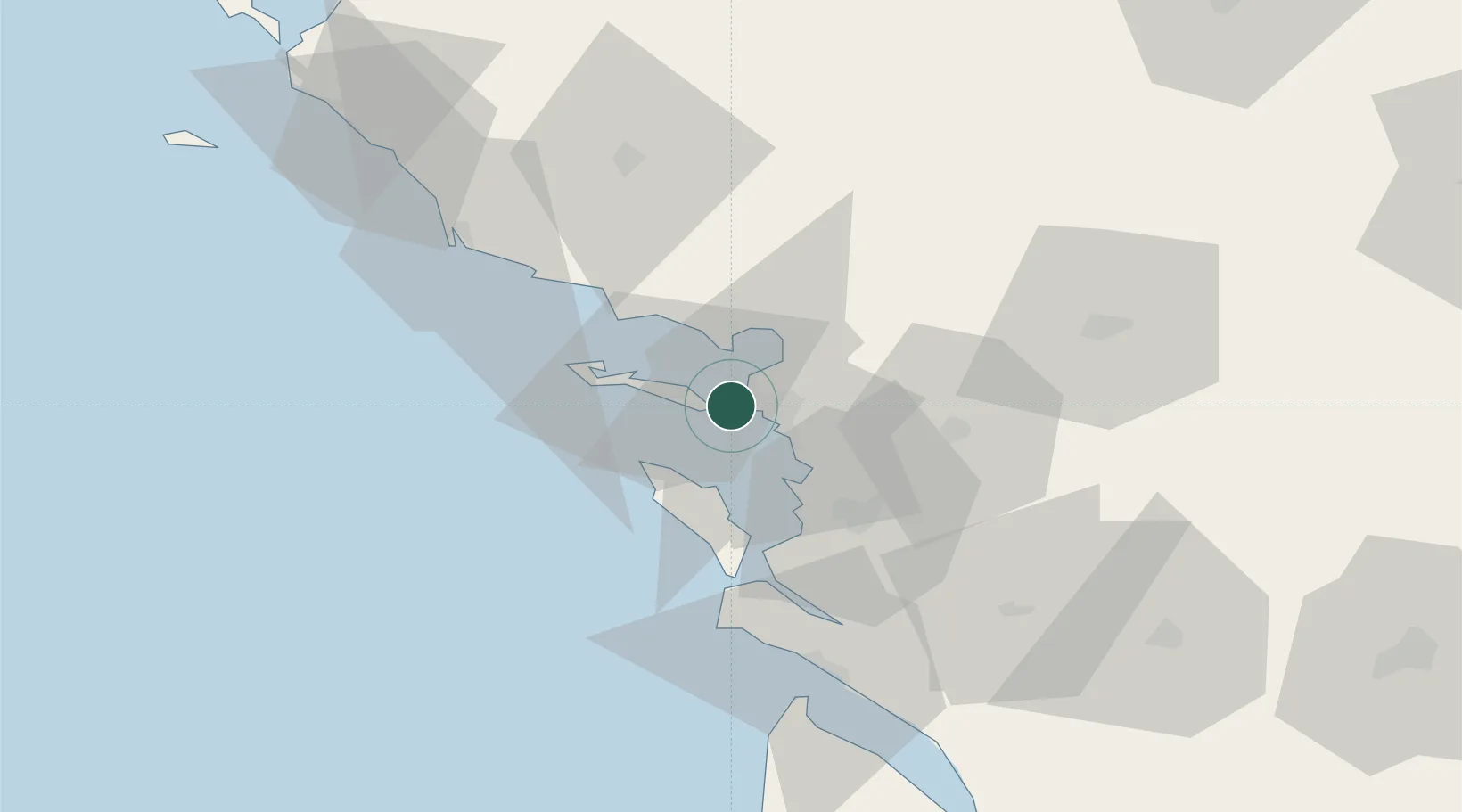
UN/LOCODE hub · France
FRLPE

la Pallice

46.1667°, -1.2167°
1
Transport functions

Transport Functions

Port
la Pallice is also a profiled seaport →
UN/LOCODE

Hub Profile

Place type
Populated place
GeoNames
Region
Nouvelle-Aquitaine
GeoNames
Time zone
Europe/Paris
GeoNames
Elevation
16 m
GeoNames

Location

Location of FRLPE
Natural Earth 10m (public domain) · Nouvelle-Aquitaine · FRLPE · 46.17, -1.22GoogleOSMYandex

Nearby Logistics Neighbours

Cities
  1. 1La Rochelle1 km
  2. 2Aytré10 km
  3. 3Périgny10 km
  4. 4Saint-Martin-de-Ré12 km
  5. 5La Jarne13 km
Nearest neighbours — logibook spatial index (haversine) over the source coordinates
Ports
  1. 1La Rochelle6 km
  2. 2Rochefort33 km
  3. 3Tonnay Charente36 km
  4. 4Les Sables D' Olonne58 km
  5. 5Le Verdon70 km
Nearest neighbours — logibook spatial index (haversine) over the source coordinates
Airports
  1. 1La Rochelle Île de Ré Airport2 km
  2. 2Rochefort-Saint-Agnant (BA 721) Airport36 km
  3. 3La Roche-sur-Yon Les Ajoncs Airport61 km
  4. 4Royan-Médis Airport63 km
  5. 5Niort - Marais Poitevin Airport65 km
Nearest neighbours — logibook spatial index (haversine) over the source coordinates
Trade Zones
  1. 1ZFU La Rochelle1 km
  2. 2ZFU Nantes et Saint-Herblain123 km
  3. 3ZFU Saint-Nazaire147 km
  4. 4Port de Bordeaux150 km
  5. 5ZFU Angers154 km
Nearest neighbours — logibook spatial index (haversine) over the source coordinates
DatabookThe Record of Consolidated Knowledge
France beyond logistics?
Browse databook

All Sources

LocationsUN/LOCODE
UN/LOCODE — free
Portsthe NGA World Port Index
Public domain (US gov)
AirportsOurAirports
Public domain
Trade Zonesthe World Bank SEZ database
CC BY 4.0
Trade ZonesOpen Zone Map
CC BY
← France locations