Transport Functions
Road
Multimodal
Hub Profile
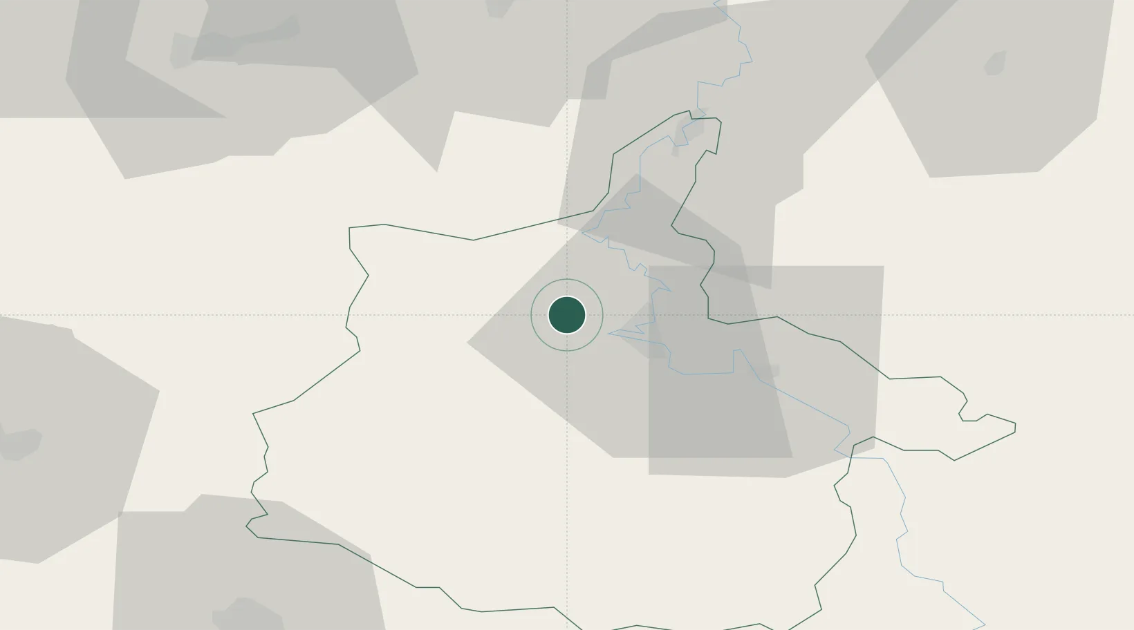
Place type
Populated place
Region
Grand Est
Population
355
Time zone
Europe/Paris
Elevation
157 m
Location
Nearby Logistics Neighbours
Cities
- 1Rouvroy-sur-Audry9 km
- 2Charleville-Mézières9 km
- 3Nouzonville11 km
- 4Lumes15 km
- 5Jandun17 km
Airports
Trade Zones
DatabookThe Record of Consolidated Knowledge
France beyond logistics?