Transport Functions
Rail
Road
Hub Profile
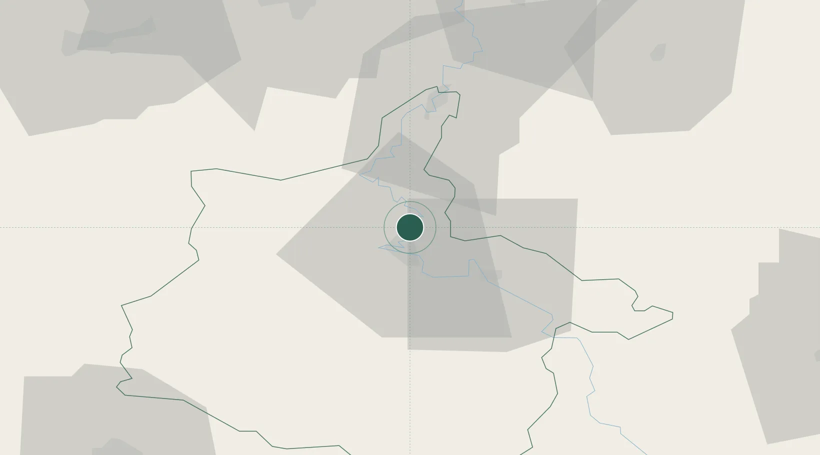
Place type
Populated place
Region
Grand Est
Population
6,817
Time zone
Europe/Paris
Elevation
153 m
Location
Nearby Logistics Neighbours
Cities
- 1Charleville-Mézières6 km
- 2Lumes10 km
- 3Ham-les-Moines11 km
- 4Vrigne aux Bois12 km
- 5Dom-le-Mesnil15 km
Airports
Trade Zones
- 1ZFU Ronde Couture8 km
- 2ZFU Maubeuge, Louvroil76 km
- 3ZFU Reims84 km
- 4Luxembourg Free Port108 km
- 5ZFU Condé sur lEscaut111 km
DatabookThe Record of Consolidated Knowledge
France beyond logistics?