Transport Functions
Multimodal
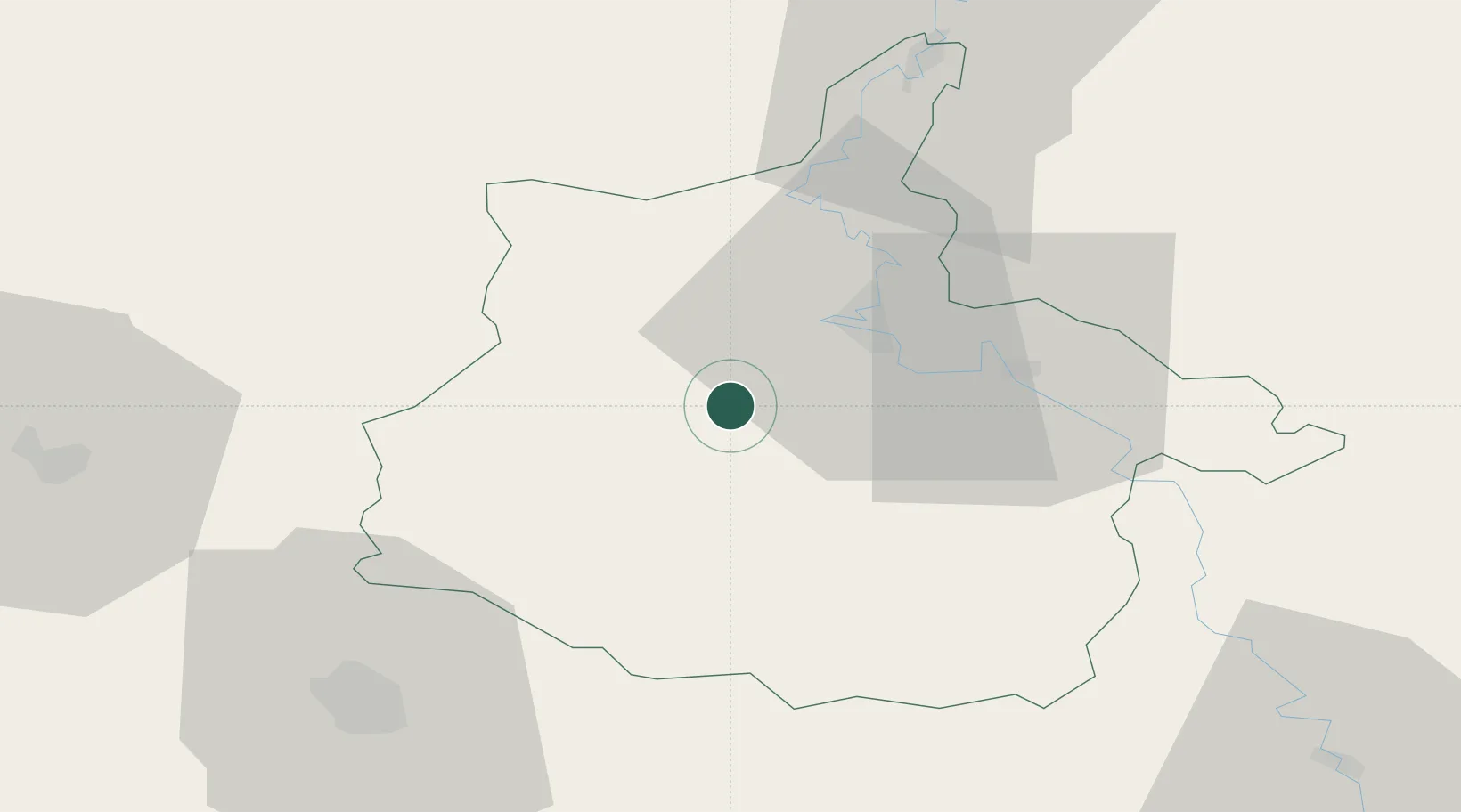
Hub Profile
Place type
Populated place
Region
Grand Est
Population
239
Time zone
Europe/Paris
Elevation
195 m
Location
Nearby Logistics Neighbours
Cities
- 1Rouvroy-sur-Audry16 km
- 2Ham-les-Moines17 km
- 3Charleville-Mézières18 km
- 4Dom-le-Mesnil18 km
- 5Lumes19 km
Airports
Trade Zones
- 1ZFU Ronde Couture16 km
- 2ZFU Reims60 km
- 3ZFU Maubeuge, Louvroil81 km
- 4ZFU Presles, Chevreux95 km
- 5ZFU Le Vermandois Vermand, Fayet, Artois, Champagne99 km
DatabookThe Record of Consolidated Knowledge
France beyond logistics?