Transport Functions
Rail
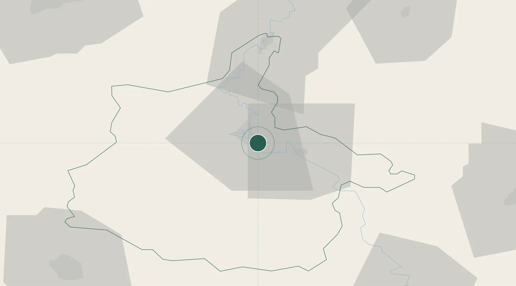
Hub Profile
Place type
Populated place
Region
Grand Est
Population
1,235
Time zone
Europe/Paris
Elevation
158 m
Location
Nearby Logistics Neighbours
Cities
- 1Vrigne aux Bois5 km
- 2Dom-le-Mesnil6 km
- 3Charleville-Mézières6 km
- 4Nouzonville10 km
- 5Glaire-et-Villette10 km
Airports
Trade Zones
- 1ZFU Ronde Couture5 km
- 2ZFU Reims79 km
- 3ZFU Maubeuge, Louvroil84 km
- 4Luxembourg Free Port104 km
- 5ZFU Presles, Chevreux114 km
DatabookThe Record of Consolidated Knowledge
France beyond logistics?