Transport Functions
Port
Hub Profile
Place type
Populated place
Region
Normandy
Population
1,382
Time zone
Europe/Paris
Elevation
32 m
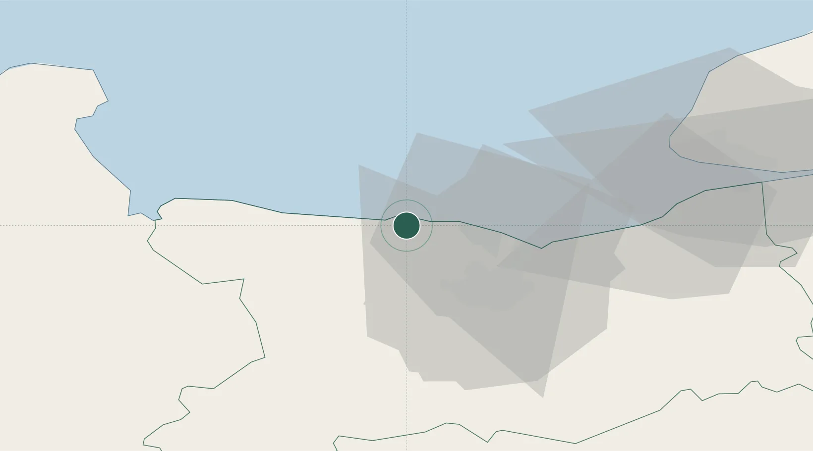
Location
Nearby Logistics Neighbours
Cities
- 1Asnelles4 km
- 2Arromanches-les-Bains6 km
- 3Fontaine-Henry8 km
- 4Bernières-sur-Mer9 km
- 5Brouay13 km
Ports
- 1Ouistreham21 km
- 2Port De Caen21 km
- 3Deauville45 km
- 4Port Of Le Havre50 km
- 5Honfleur55 km
Airports
- 1Caen Carpiquet airport18 km
- 2Deauville Normandie airport50 km
- 3Le Havre-Octeville Airport50 km
- 4Cherbourg Manche airport76 km
- 5Granville Airport90 km
Trade Zones
- 1ZFU La Guérinière, La Grâce de Dieu19 km
- 2ZFU Hérouville-Saint-Clair20 km
- 3ZFU Le Havre51 km
- 4ZFU Cherbourg-Octeville89 km
- 5ZFU Alençon110 km
DatabookThe Record of Consolidated Knowledge
France beyond logistics?