Transport Functions
Road
Multimodal
Hub Profile
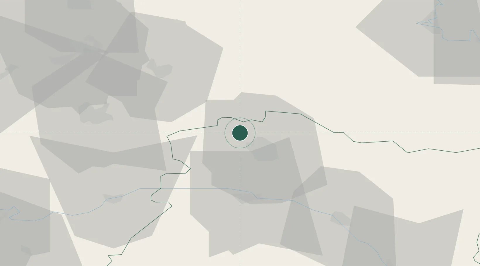
Place type
Populated place
Region
Grand Est
Population
470
Time zone
Europe/Paris
Elevation
145 m
Location
Nearby Logistics Neighbours
Cities
- 1Merfy2 km
- 2Villers-Franqueux2 km
- 3Hermonville4 km
- 4Trigny4 km
- 5Berméricourt4 km
Ports
- 1Bruxelles175 km
- 2Saint-Valery-Sur-Somme193 km
- 3Ghent195 km
- 4Le Treport204 km
- 5Port Of Rouen209 km
Airports
Trade Zones
- 1ZFU Reims8 km
- 2ZFU Presles, Chevreux47 km
- 3ZFU Ronde Couture73 km
- 4ZFU Le Vermandois Vermand, Fayet, Artois, Champagne80 km
- 5ZFU Meaux87 km
DatabookThe Record of Consolidated Knowledge
France beyond logistics?