UN/LOCODE hub · France
FRRGV

Sanvensa

44.2833°, 2.0500°
521
Population
1
Transport functions

Transport Functions

Multimodal
UN/LOCODE

Hub Profile

Place type
Populated place
GeoNames
Region
Occitanie
GeoNames
Population
521
GeoNames
Time zone
Europe/Paris
GeoNames
Elevation
481 m
GeoNames

Location

Location of FRRGV
Natural Earth 10m (public domain) · Occitanie · FRRGV · 44.28, 2.05GoogleOSMYandex

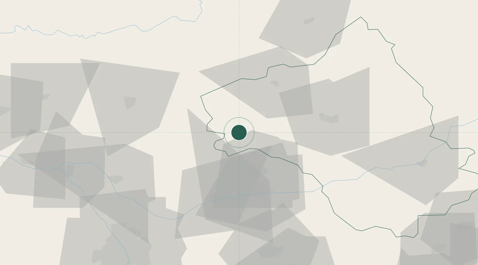
Nearby Logistics Neighbours

Cities
  1. 1Lunac8 km
  2. 2Savignac11 km
  3. 3Saint-Rémy13 km
  4. 4Blauzac16 km
  5. 5La Fouillade24 km
Nearest neighbours — logibook spatial index (haversine) over the source coordinates
Ports
  1. 1Port-La-Nouvelle163 km
  2. 2Sete165 km
  3. 3Port-Vendres215 km
  4. 4Bordeaux217 km
  5. 5Ambes220 km
Nearest neighbours — logibook spatial index (haversine) over the source coordinates
Airports
  1. 1Rodez–Aveyron Airport37 km
  2. 2Albi Le Sequestre airport41 km
  3. 3Cahors Lalbenque airport46 km
  4. 4Aurillac airport74 km
  5. 5Castres Mazamet Airport83 km
Nearest neighbours — logibook spatial index (haversine) over the source coordinates
Trade Zones
  1. 1ZFU Toulouse90 km
  2. 2ZFU Béziers141 km
  3. 3ZFU Montpellier162 km
  4. 4ZFU Clermont-Ferrand186 km
  5. 5ZFU Perpignan189 km
Nearest neighbours — logibook spatial index (haversine) over the source coordinates
DatabookThe Record of Consolidated Knowledge
France beyond logistics?
Browse databook

All Sources

LocationsUN/LOCODE
UN/LOCODE — free
LocationsGeoNames
CC BY 4.0
Portsthe NGA World Port Index
Public domain (US gov)
AirportsOurAirports
Public domain
Trade Zonesthe World Bank SEZ database
CC BY 4.0
Trade ZonesOpen Zone Map
CC BY
← France locations