Transport Functions
Multimodal
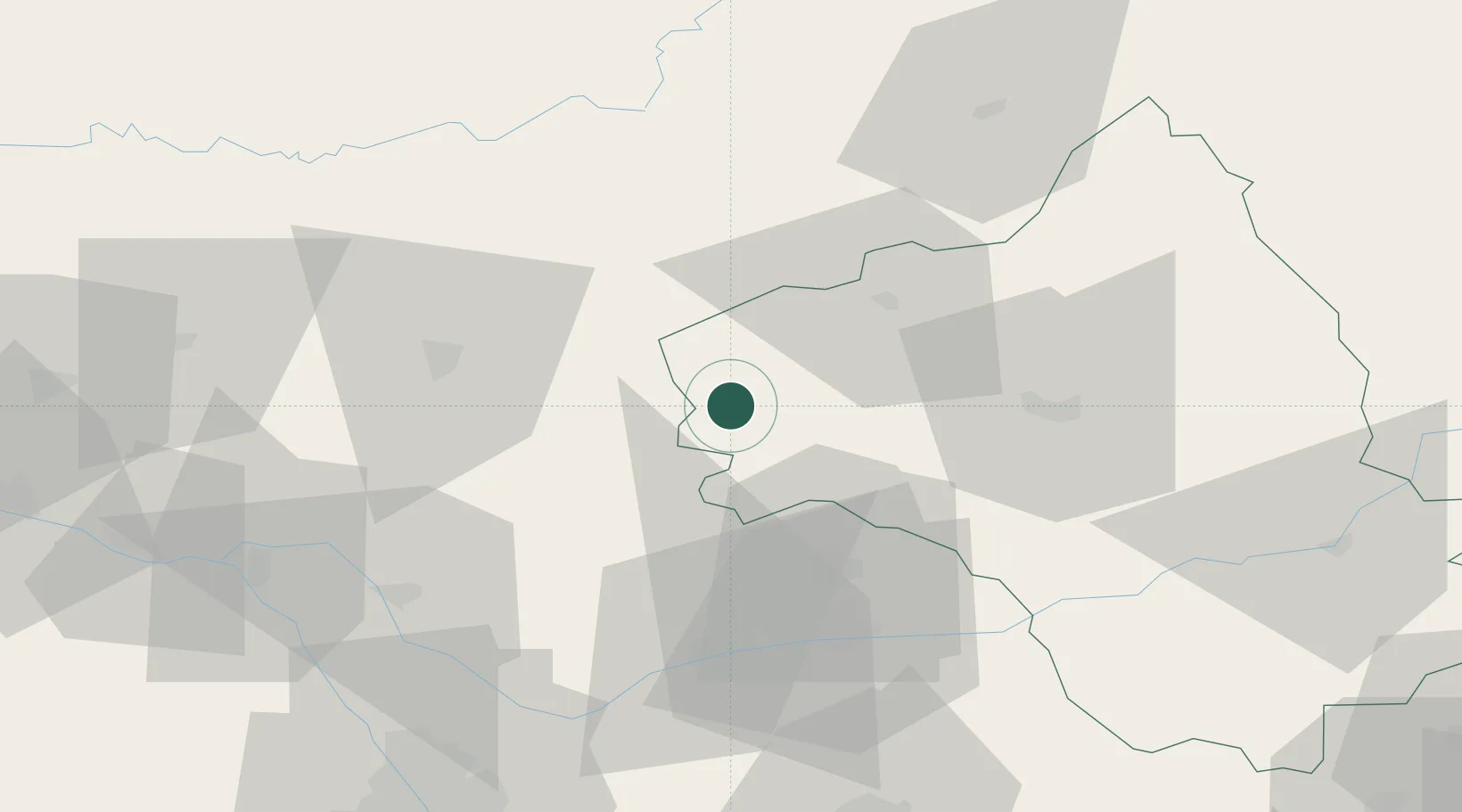
Hub Profile
Place type
Populated place
Region
Occitanie
Population
564
Time zone
Europe/Paris
Elevation
392 m
Location
Nearby Logistics Neighbours
Cities
- 1Saint-Rémy7 km
- 2Sanvensa11 km
- 3Cajarc16 km
- 4Lunac19 km
- 5Capdenac-Gare22 km
Ports
- 1Port-La-Nouvelle174 km
- 2Sete176 km
- 3Bordeaux208 km
- 4Ambes210 km
- 5Blaye225 km
Airports
- 1Cahors Lalbenque airport39 km
- 2Rodez–Aveyron Airport41 km
- 3Albi Le Sequestre airport52 km
- 4Aurillac airport69 km
- 5Brive Souillac airport84 km
Trade Zones
- 1ZFU Toulouse95 km
- 2ZFU Béziers152 km
- 3ZFU Montpellier173 km
- 4ZFU Clermont-Ferrand180 km
- 5ZFU Perpignan200 km
DatabookThe Record of Consolidated Knowledge
France beyond logistics?