Medium airport · France
Aurillac airportLFLW
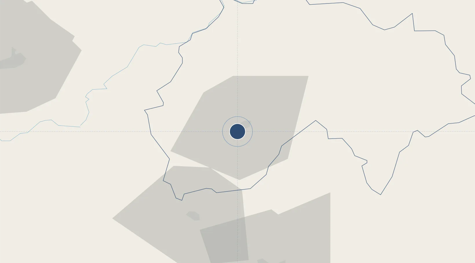
44.8914°, 2.4219°
5,577 ft
Longest runway
1
Runways
2,096 ft
Elevation
Runway & Layout

Radio Frequencies
AFIS
118.325 MHz
INFO
Runways · 1
| Runway | Dimensions | Surface | True heading | Lit |
|---|---|---|---|---|
| 15/33 | 5,577 × 98ft | Asphalt | 150° | ✓ |
Airport Specifications
IATA code
AUR
ICAO code
LFLW
Airport class
Medium airport
Scheduled service
Yes
Runway surface
Asphalt
Served city
Aurillac
Location
Nearby Logistics Neighbours
Airports
- 1Rodez–Aveyron Airport54 km
- 2Brive Souillac airport76 km
- 3Cahors Lalbenque airport96 km
- 4Mende-Brenoux Airfield98 km
- 5Le Puy-Loudes Airfield108 km
Cities
- 1Aurillac5 km
- 2Sansac-de-Marmiesse6 km
- 3Le Rouget16 km
- 4Laroquebrou19 km
- 5Le Fel28 km
Ports
- 1Sete195 km
- 2Port-La-Nouvelle215 km
- 3Ambes233 km
- 4Bordeaux236 km
- 5Blaye244 km
Trade Zones
- 1ZFU Clermont-Ferrand112 km
- 2ZFU Saint-Etienne158 km
- 3ZFU Toulouse163 km
- 4ZFU Montpellier183 km
- 5ZFU Béziers184 km
DatabookThe Record of Consolidated Knowledge
France beyond logistics?