Transport Functions
Multimodal
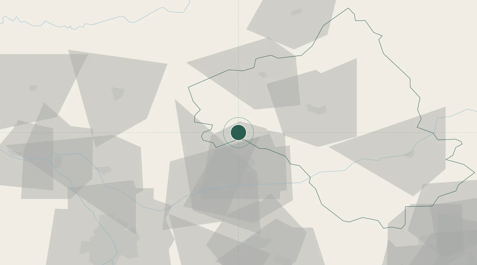
Hub Profile
Place type
Populated place
Region
Occitanie
Population
478
Time zone
Europe/Paris
Elevation
467 m
Location
Nearby Logistics Neighbours
Cities
- 1Sanvensa8 km
- 2Blauzac9 km
- 3La Fouillade17 km
- 4Savignac19 km
- 5Saint-Rémy20 km
Ports
- 1Port-La-Nouvelle155 km
- 2Sete157 km
- 3Port-Vendres207 km
- 4Bordeaux224 km
- 5Ambes227 km
Airports
- 1Rodez–Aveyron Airport35 km
- 2Albi Le Sequestre airport36 km
- 3Cahors Lalbenque airport53 km
- 4Castres Mazamet Airport77 km
- 5Aurillac airport77 km
Trade Zones
- 1ZFU Toulouse88 km
- 2ZFU Béziers133 km
- 3ZFU Montpellier155 km
- 4ZFU Perpignan182 km
- 5ZFU Nîmes184 km
DatabookThe Record of Consolidated Knowledge
France beyond logistics?