Transport Functions
Multimodal
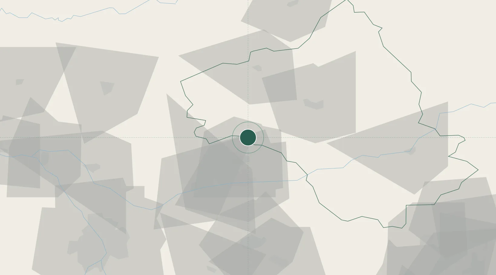
Hub Profile
Place type
Populated place
Region
Occitanie
Time zone
Europe/Paris
Elevation
465 m
Location
Nearby Logistics Neighbours
Cities
- 1Lunac9 km
- 2La Fouillade11 km
- 3Sanvensa16 km
- 4Milhavet21 km
- 5Villeneuve-sur-Vère24 km
Ports
- 1Port-La-Nouvelle147 km
- 2Sete149 km
- 3Port-Vendres200 km
- 4Rosas228 km
- 5Port Saint Louis Du Rhone228 km
Airports
- 1Albi Le Sequestre airport31 km
- 2Rodez–Aveyron Airport34 km
- 3Cahors Lalbenque airport61 km
- 4Castres Mazamet Airport70 km
- 5Aurillac airport81 km
Trade Zones
- 1ZFU Toulouse89 km
- 2ZFU Béziers125 km
- 3ZFU Montpellier147 km
- 4ZFU Perpignan174 km
- 5ZFU Nîmes176 km
DatabookThe Record of Consolidated Knowledge
France beyond logistics?