Transport Functions
Rail
Road
Hub Profile
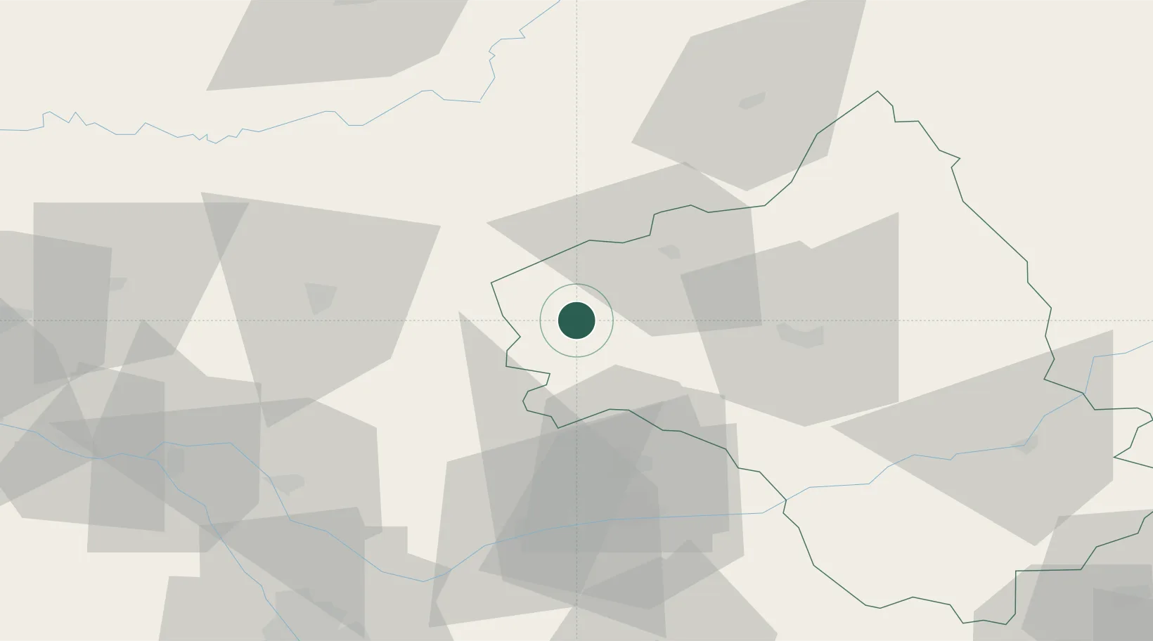
Place type
Populated place
Region
Occitanie
Population
310
Time zone
Europe/Paris
Elevation
303 m
Location
Nearby Logistics Neighbours
Cities
- 1Savignac7 km
- 2Sanvensa13 km
- 3Capdenac-Gare17 km
- 4Cajarc17 km
- 5Lunac20 km
Ports
- 1Sete174 km
- 2Port-La-Nouvelle175 km
- 3Bordeaux212 km
- 4Ambes214 km
- 5Port-Vendres227 km
Airports
- 1Rodez–Aveyron Airport36 km
- 2Cahors Lalbenque airport45 km
- 3Albi Le Sequestre airport54 km
- 4Aurillac airport63 km
- 5Brive Souillac airport83 km
Trade Zones
- 1ZFU Toulouse100 km
- 2ZFU Béziers152 km
- 3ZFU Montpellier170 km
- 4ZFU Clermont-Ferrand175 km
- 5ZFU Nîmes195 km
DatabookThe Record of Consolidated Knowledge
France beyond logistics?