UN/LOCODE hub · France
FROOF

La Fouillade

44.2167°, 2.3333°
1,099
Population
1
Transport functions

Transport Functions

Multimodal
UN/LOCODE

Hub Profile

Place type
Populated place
GeoNames
Region
Occitanie
GeoNames
Population
1,099
GeoNames
Time zone
Europe/Paris
GeoNames
Elevation
417 m
GeoNames

Location

Location of FROOF
Natural Earth 10m (public domain) · Occitanie · FROOF · 44.22, 2.33GoogleOSMYandex

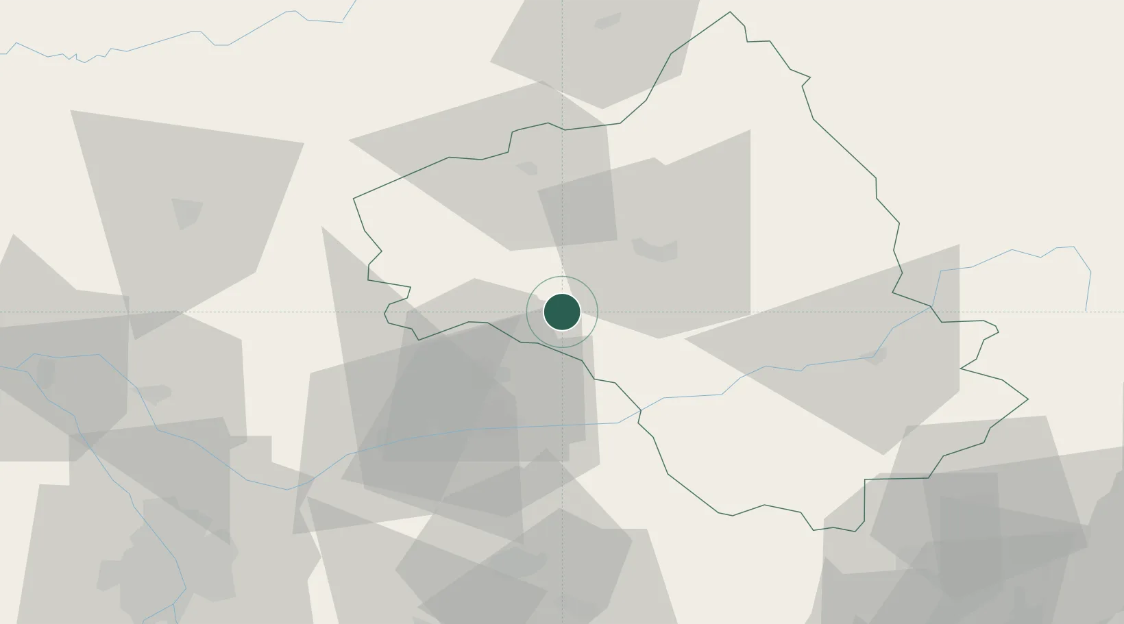
Nearby Logistics Neighbours

Cities
  1. 1Blauzac11 km
  2. 2Lunac17 km
  3. 3Luc19 km
  4. 4Rignac22 km
  5. 5Clairvaux-d'Aveyron23 km
Nearest neighbours — logibook spatial index (haversine) over the source coordinates
Ports
  1. 1Sete142 km
  2. 2Port-La-Nouvelle146 km
  3. 3Port-Vendres199 km
  4. 4Port Saint Louis Du Rhone220 km
  5. 5Fos223 km
Nearest neighbours — logibook spatial index (haversine) over the source coordinates
Airports
  1. 1Rodez–Aveyron Airport24 km
  2. 2Albi Le Sequestre airport38 km
  3. 3Cahors Lalbenque airport70 km
  4. 4Castres Mazamet Airport74 km
  5. 5Aurillac airport75 km
Nearest neighbours — logibook spatial index (haversine) over the source coordinates
Trade Zones
  1. 1ZFU Toulouse99 km
  2. 2ZFU Béziers121 km
  3. 3ZFU Montpellier139 km
  4. 4ZFU Nîmes167 km
  5. 5ZFU Perpignan175 km
Nearest neighbours — logibook spatial index (haversine) over the source coordinates
DatabookThe Record of Consolidated Knowledge
France beyond logistics?
Browse databook

All Sources

LocationsUN/LOCODE
UN/LOCODE — free
LocationsGeoNames
CC BY 4.0
Portsthe NGA World Port Index
Public domain (US gov)
AirportsOurAirports
Public domain
Trade Zonesthe World Bank SEZ database
CC BY 4.0
Trade ZonesOpen Zone Map
CC BY
← France locations