Economic Revitalization Project · France

ZFU Clermont-Ferrand Active
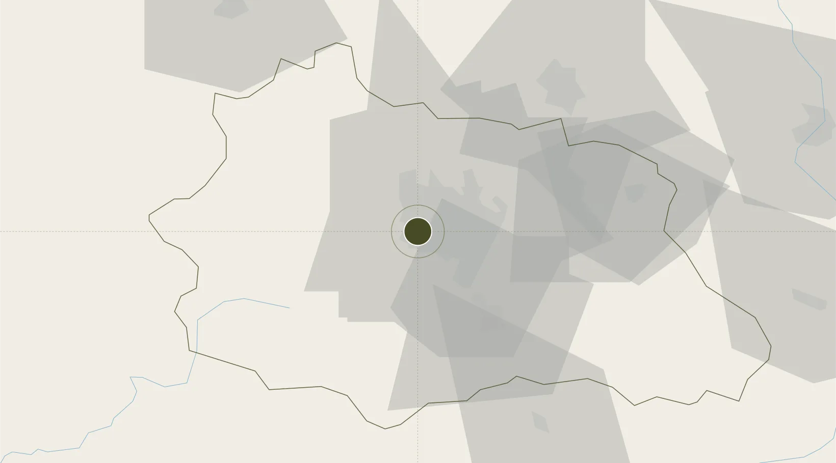
45.7871°, 3.0776°
436 ha
Zone area
270.0 km
Nearest port
7.1 km
Nearest airport

Gateway access

Nearest neighbours — logibook spatial index (haversine) over the source coordinates

Zone profile

Zone type
Economic Revitalization Project
Open Zone Map
Region
Puy-de-Dôme
Open Zone Map
Status
Active
Open Zone Map
Management
Public
Open Zone Map
Operator
Ville de Clermont-Ferrand
Open Zone Map
Legal framework
Décret no 65-939 du 8 novembre 1965, Décret du 9 Octobre 2008
Open Zone Map

Location

Location of ozm-2017
Natural Earth 10m (public domain) · Puy-de-Dôme · ozm-2017 · 45.79, 3.08GoogleOSMYandex

Nearby Logistics Neighbours

Ports
  1. 1Sete270 km
  2. 2Ambes295 km
  3. 3Fos300 km
  4. 4Port Saint Louis Du Rhone301 km
  5. 5Blaye301 km
Nearest neighbours — logibook spatial index (haversine) over the source coordinates
Airports
  1. 1Clermont-Ferrand Auvergne airport7 km
  2. 2Vichy-Charmeil Airport49 km
  3. 3Montluçon-Guéret Airport73 km
  4. 4Roanne-Renaison Airport77 km
  5. 5Le Puy-Loudes Airfield95 km
Nearest neighbours — logibook spatial index (haversine) over the source coordinates
Cities
  1. 1Ceyrat6 km
  2. 2Gerzat6 km
  3. 3Aulnat7 km
  4. 4Pérignat-lès-Sarliève7 km
  5. 5Le Cendre11 km
Nearest neighbours — logibook spatial index (haversine) over the source coordinates
Trade Zones
  1. 1ZFU Saint-Etienne103 km
  2. 2ZFU Lyon 9e134 km
  3. 3ZFU Vénissieux138 km
  4. 4ZFU Rillieux-la-Pape138 km
  5. 5ZFU Vaulx-en-Velin143 km
Nearest neighbours — logibook spatial index (haversine) over the source coordinates
DatabookThe Record of Consolidated Knowledge
France beyond logistics?
Browse databook

All Sources

Trade ZonesOpen Zone Map
CC BY
Portsthe NGA World Port Index
Public domain (US gov)
AirportsOurAirports
Public domain
LocationsUN/LOCODE
UN/LOCODE — free
← France trade zones