Transport Functions
Port
Road
Hub Profile
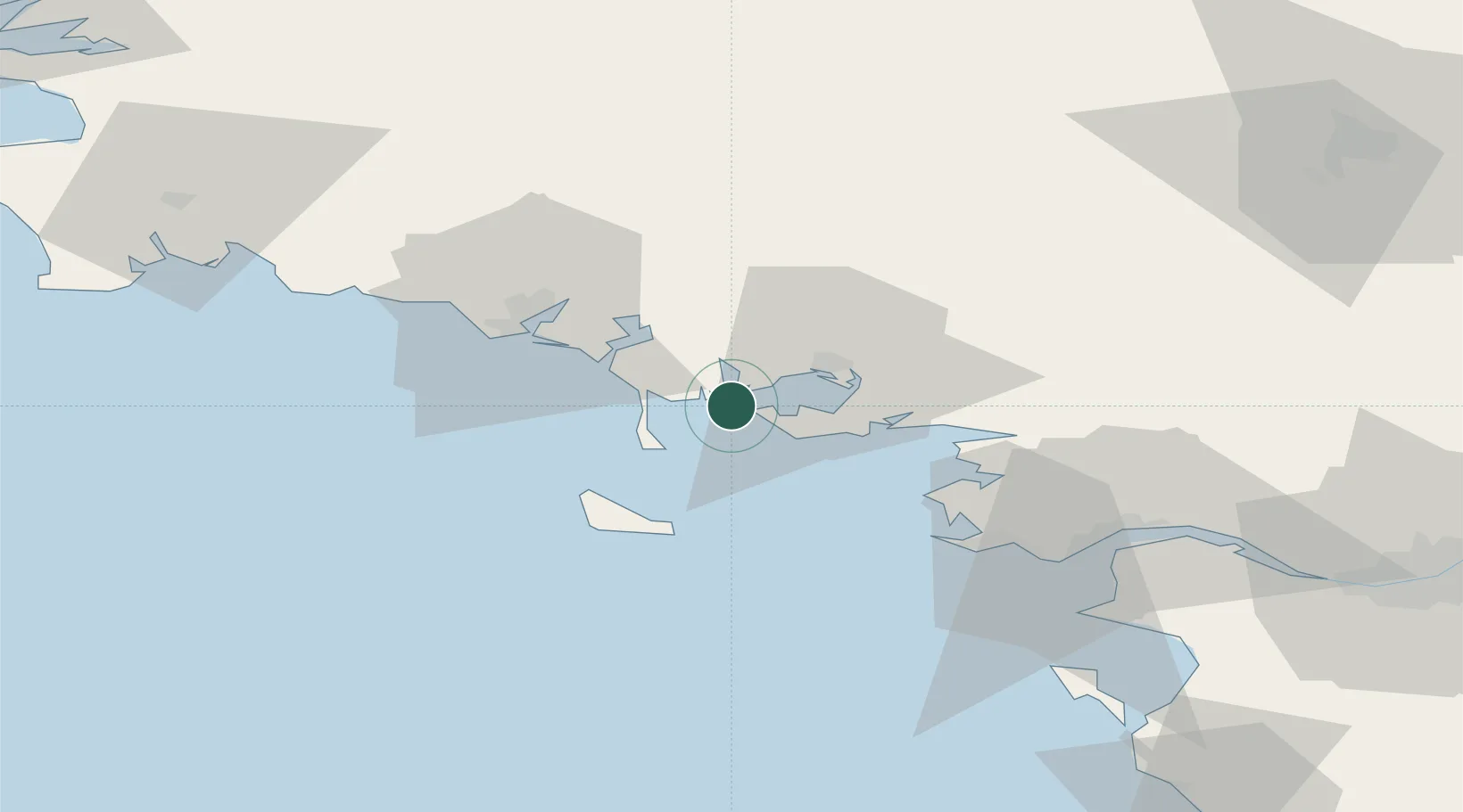
Place type
Populated place
Region
Brittany
Population
1,468
Time zone
Europe/Paris
Elevation
2 m
Location
Nearby Logistics Neighbours
Cities
- 1Larmor-Baden4 km
- 2Port-Navalo4 km
- 3Baden6 km
- 4La Trinité-sur-Mer7 km
- 5Crach7 km
Ports
- 1Lorient36 km
- 2St Nazaire65 km
- 3Montoir68 km
- 4Donges73 km
- 5Concarneau80 km
Airports
Trade Zones
- 1ZFU Saint-Nazaire60 km
- 2ZFU Nantes et Saint-Herblain101 km
- 3ZFU Angers177 km
- 4ZFU La Rochelle205 km
- 5ZFU Le Mans234 km
DatabookThe Record of Consolidated Knowledge
France beyond logistics?