UN/LOCODE hub · France
FRQLB

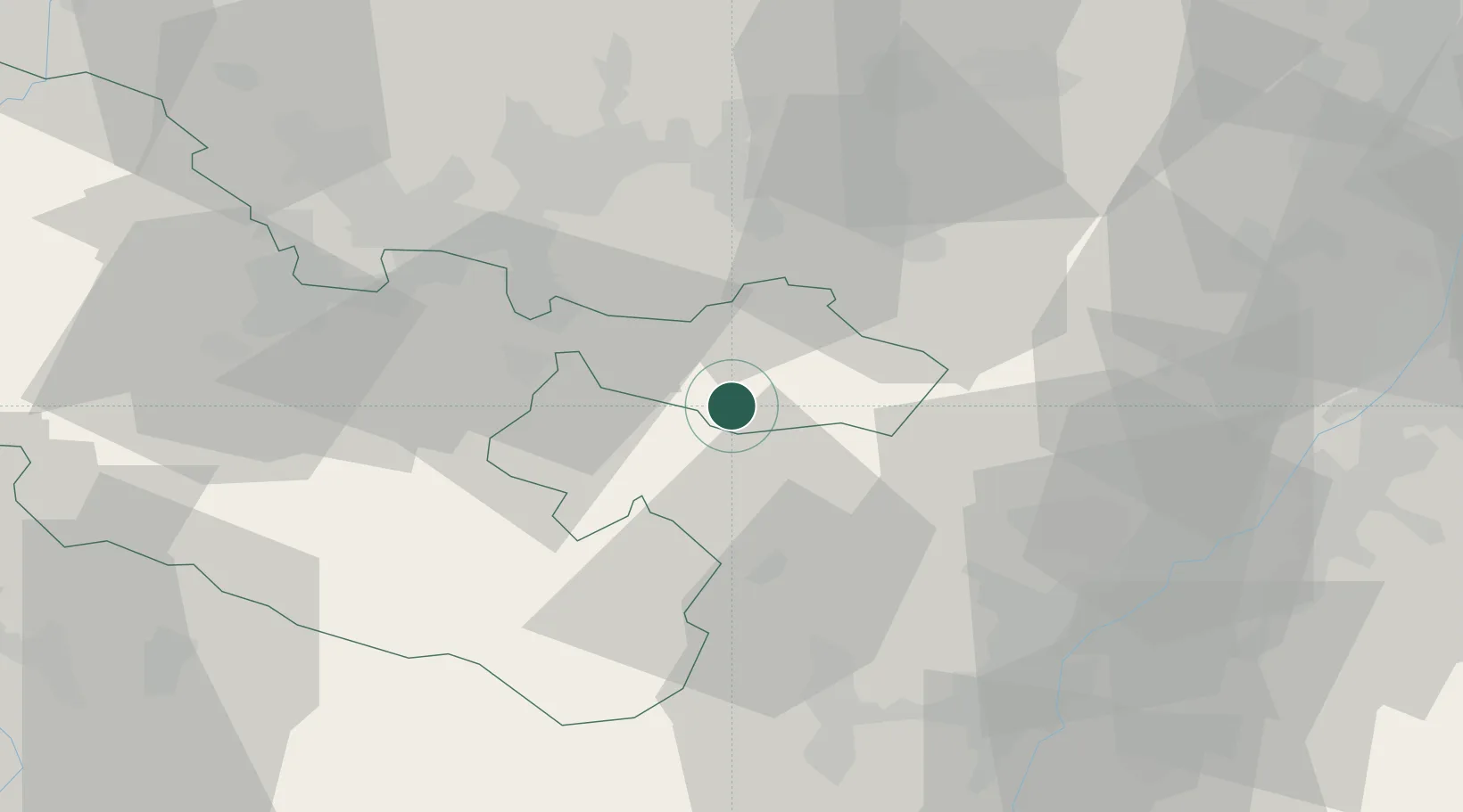
Saint-Louis-lès-Bitche

48.9833°, 7.3333°
566
Population
2
Transport functions

Transport Functions

Road
Multimodal
UN/LOCODE

Hub Profile

Place type
Populated place
GeoNames
Region
Grand Est
GeoNames
Population
566
GeoNames
Time zone
Europe/Paris
GeoNames
Elevation
277 m
GeoNames

Location

Location of FRQLB
Natural Earth 10m (public domain) · Grand Est · FRQLB · 48.98, 7.33GoogleOSMYandex

Nearby Logistics Neighbours

Cities
  1. 1Goetzenbruck4 km
  2. 2Ingwiller16 km
  3. 3Herbitzheim19 km
  4. 4Bouxwiller20 km
  5. 5Gersheim20 km
Nearest neighbours — logibook spatial index (haversine) over the source coordinates
Ports
  1. 1Bruxelles299 km
  2. 2Antwerpen325 km
  3. 3Ghent346 km
  4. 4Hansweert363 km
  5. 5Terneuzen363 km
Nearest neighbours — logibook spatial index (haversine) over the source coordinates
Airports
  1. 1Phalsbourg-Bourscheid Air Base26 km
  2. 2Saarbrücken Airport30 km
  3. 3Strasbourg Airport54 km
  4. 4Ramstein Air Base54 km
  5. 5Karlsruhe Baden-Baden Airport59 km
Nearest neighbours — logibook spatial index (haversine) over the source coordinates
Trade Zones
  1. 1ZFU La Cité Behren-lès-Forbach36 km
  2. 2ZFU Hautepierre51 km
  3. 3ZFU Neuhof59 km
  4. 4ZFU Metz87 km
  5. 5ZFU Woippy-Metz88 km
Nearest neighbours — logibook spatial index (haversine) over the source coordinates
DatabookThe Record of Consolidated Knowledge
France beyond logistics?
Browse databook

All Sources

LocationsUN/LOCODE
UN/LOCODE — free
LocationsGeoNames
CC BY 4.0
Portsthe NGA World Port Index
Public domain (US gov)
AirportsOurAirports
Public domain
Trade Zonesthe World Bank SEZ database
CC BY 4.0
Trade ZonesOpen Zone Map
CC BY
← France locations