Transport Functions
Multimodal
Hub Profile
Place type
Populated place
Region
Grand Est
Population
3,994
Time zone
Europe/Paris
Elevation
226 m
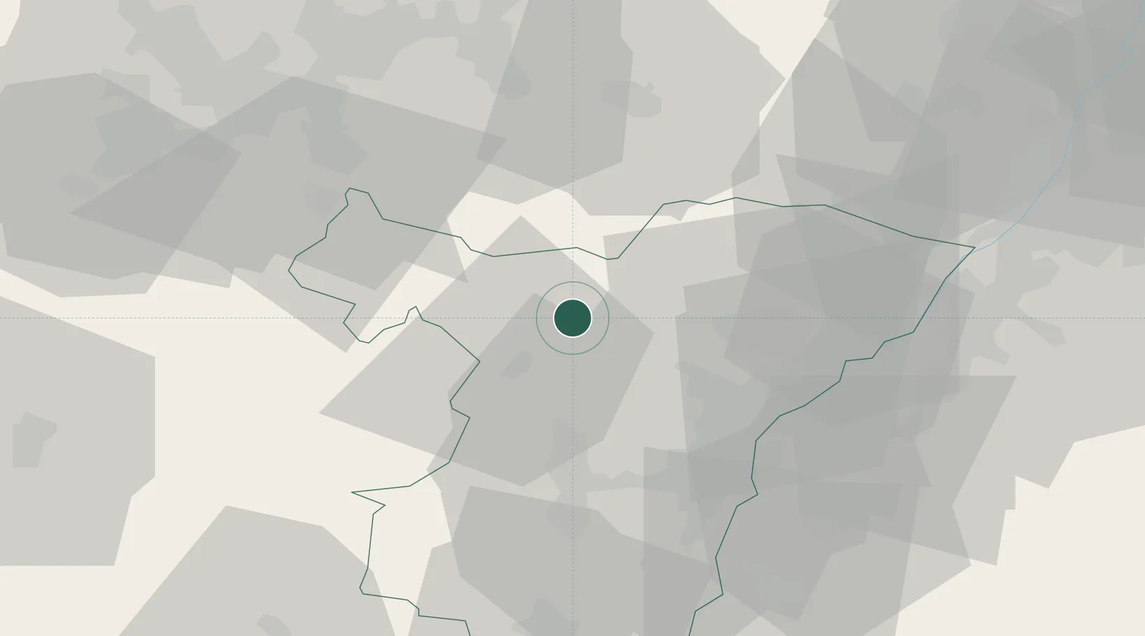
Location
Nearby Logistics Neighbours
Cities
- 1Ingwiller4 km
- 2Niedermodern9 km
- 3La Walk9 km
- 4Steinbourg9 km
- 5Pfaffenhoffen10 km
Airports
- 1Phalsbourg-Bourscheid Air Base22 km
- 2Strasbourg Airport35 km
- 3Karlsruhe Baden-Baden Airport44 km
- 4Saarbrücken Airport50 km
- 5Lahr Airport58 km
Trade Zones
- 1ZFU Hautepierre31 km
- 2ZFU Neuhof39 km
- 3ZFU La Cité Behren-lès-Forbach55 km
- 4ZFU Maxéville, Laxou, et de Nancy98 km
- 5ZFU Metz101 km
DatabookThe Record of Consolidated Knowledge
France beyond logistics?