Transport Functions
Multimodal
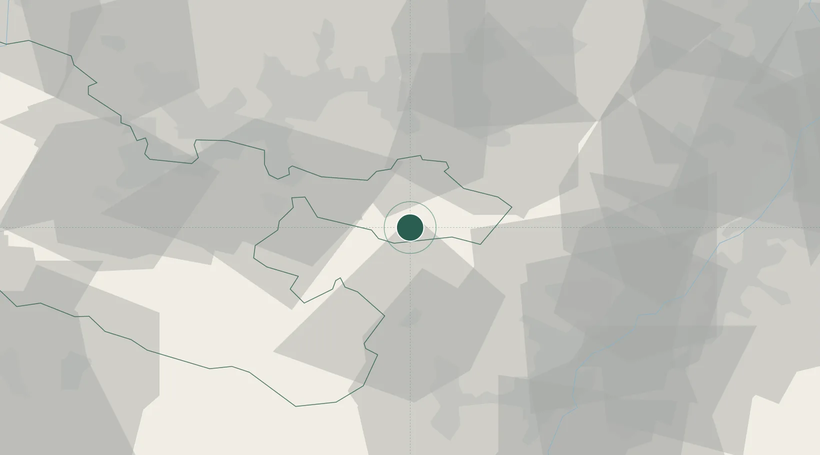
Hub Profile
Place type
Populated place
Region
Grand Est
Population
1,810
Time zone
Europe/Paris
Elevation
368 m
Location
Nearby Logistics Neighbours
Cities
- 1Saint-Louis-lès-Bitche4 km
- 2Ingwiller14 km
- 3Bouxwiller18 km
- 4Schweix19 km
- 5Reichshoffen21 km
Airports
- 1Phalsbourg-Bourscheid Air Base28 km
- 2Saarbrücken Airport33 km
- 3Strasbourg Airport53 km
- 4Ramstein Air Base53 km
- 5Karlsruhe Baden-Baden Airport56 km
Trade Zones
- 1ZFU La Cité Behren-lès-Forbach39 km
- 2ZFU Hautepierre49 km
- 3ZFU Neuhof57 km
- 4ZFU Metz90 km
- 5ZFU Woippy-Metz92 km
DatabookThe Record of Consolidated Knowledge
France beyond logistics?