Transport Functions
Multimodal
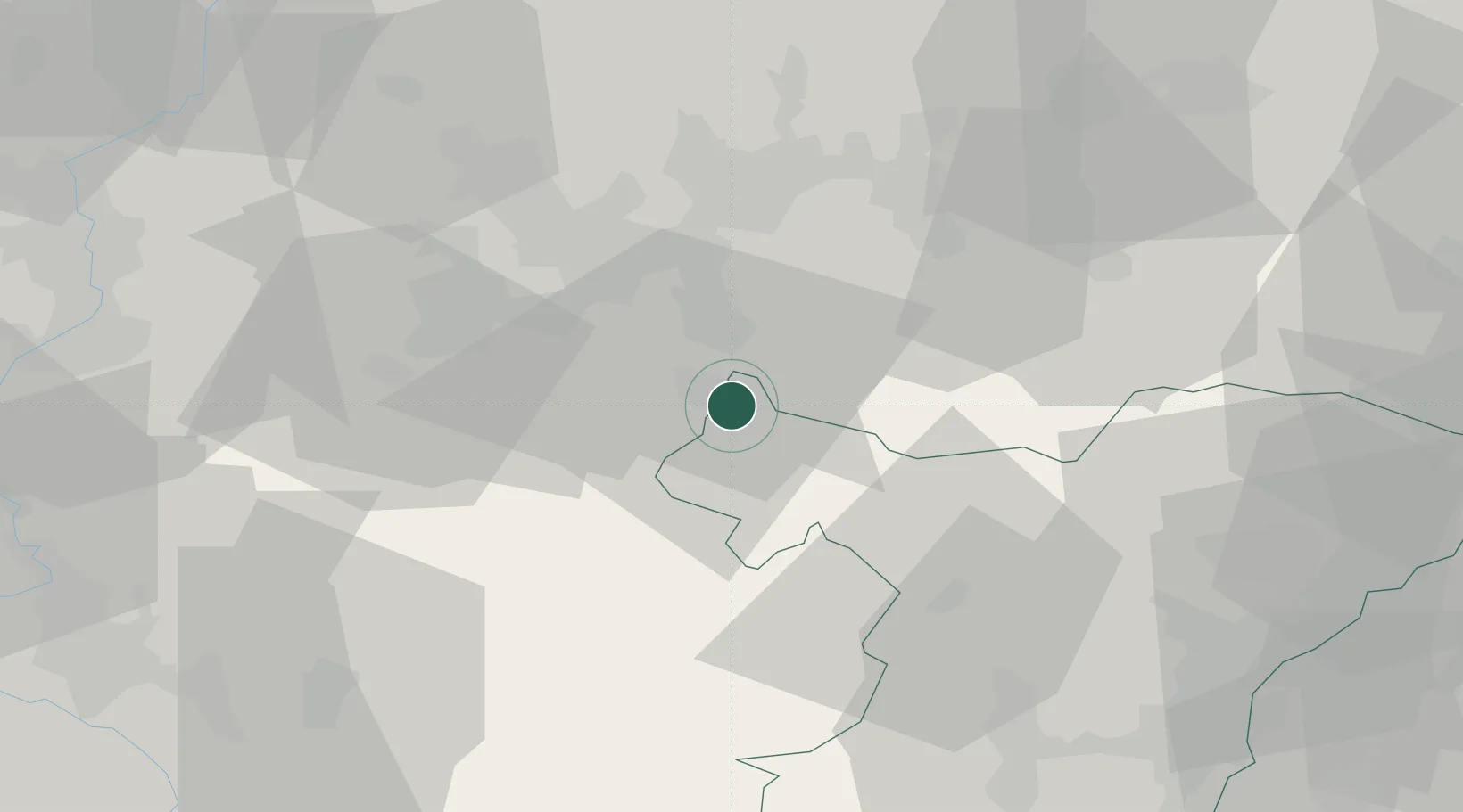
Hub Profile
Place type
Populated place
Region
Grand Est
Population
1,949
Time zone
Europe/Paris
Elevation
219 m
Location
Nearby Logistics Neighbours
Cities
- 1Sarralbe5 km
- 2Rech6 km
- 3Bissert10 km
- 4Sarreguemines11 km
- 5Gersheim18 km
Airports
- 1Saarbrücken Airport22 km
- 2Phalsbourg-Bourscheid Air Base29 km
- 3Ramstein Air Base60 km
- 4Metz-Nancy-Lorraine Airport61 km
- 5Strasbourg Airport67 km
Trade Zones
- 1ZFU La Cité Behren-lès-Forbach20 km
- 2ZFU Hautepierre65 km
- 3ZFU Metz68 km
- 4ZFU Woippy-Metz70 km
- 5ZFU Neuhof73 km
DatabookThe Record of Consolidated Knowledge
France beyond logistics?