Transport Functions
Multimodal
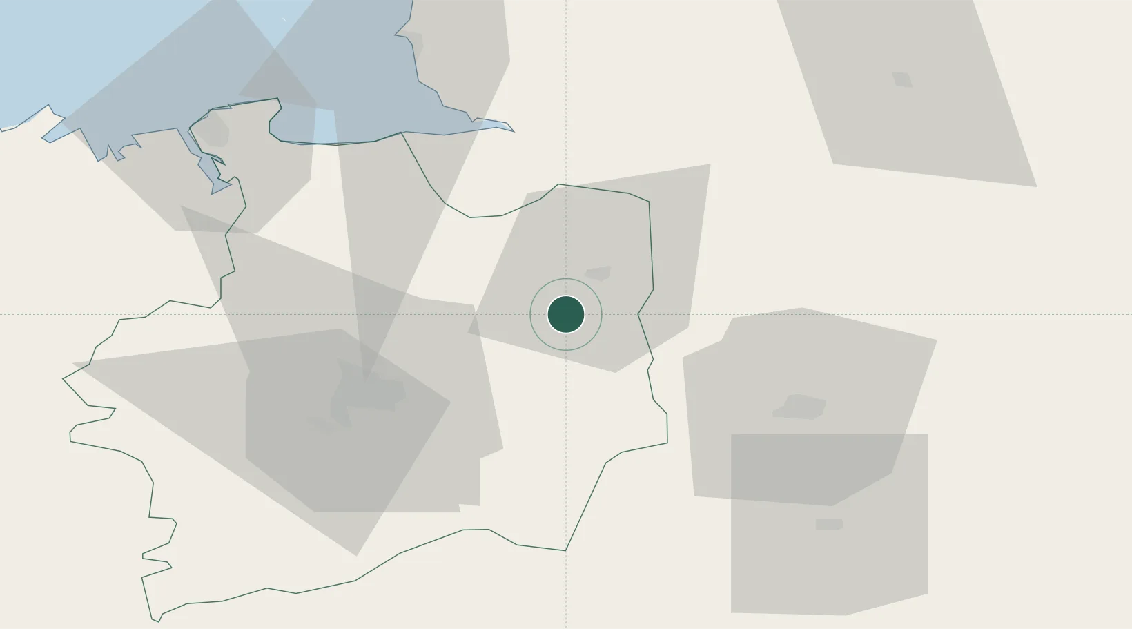
Hub Profile
Place type
Populated place
Region
Brittany
Population
440
Time zone
Europe/Paris
Elevation
98 m
Location
Nearby Logistics Neighbours
Cities
- 1Châtillon-en-Vendelais8 km
- 2Saint-Jean-sur-Couesnon9 km
- 3Beaucé10 km
- 4Fougères10 km
- 5Luitré10 km
Ports
- 1Granville68 km
- 2Saint-Malo71 km
- 3Le Legue115 km
- 4Saint Helier Harbour120 km
- 5Nantes121 km
Airports
- 1Rennes-Saint-Jacques Airport42 km
- 2Laval-Entrammes Airport46 km
- 3Dinard Pleurtuit Saint-Malo airport71 km
- 4Granville Airport72 km
- 5Angers Marcé airport105 km
Trade Zones
- 1ZFU Angers100 km
- 2ZFU Alençon100 km
- 3ZFU Le Mans107 km
- 4ZFU La Guérinière, La Grâce de Dieu119 km
- 5ZFU Nantes et Saint-Herblain121 km
DatabookThe Record of Consolidated Knowledge
France beyond logistics?