UN/LOCODE hub · France
FRPVG

Pluvigner

47.7667°, -3.0000°
5,775
Population
2
Transport functions

Transport Functions

Road
Multimodal
UN/LOCODE

Hub Profile

Place type
Populated place
GeoNames
Region
Brittany
GeoNames
Population
5,775
GeoNames
Time zone
Europe/Paris
GeoNames
Elevation
88 m
GeoNames

Location

Location of FRPVG
Natural Earth 10m (public domain) · Brittany · FRPVG · 47.77, -3.00GoogleOSMYandex

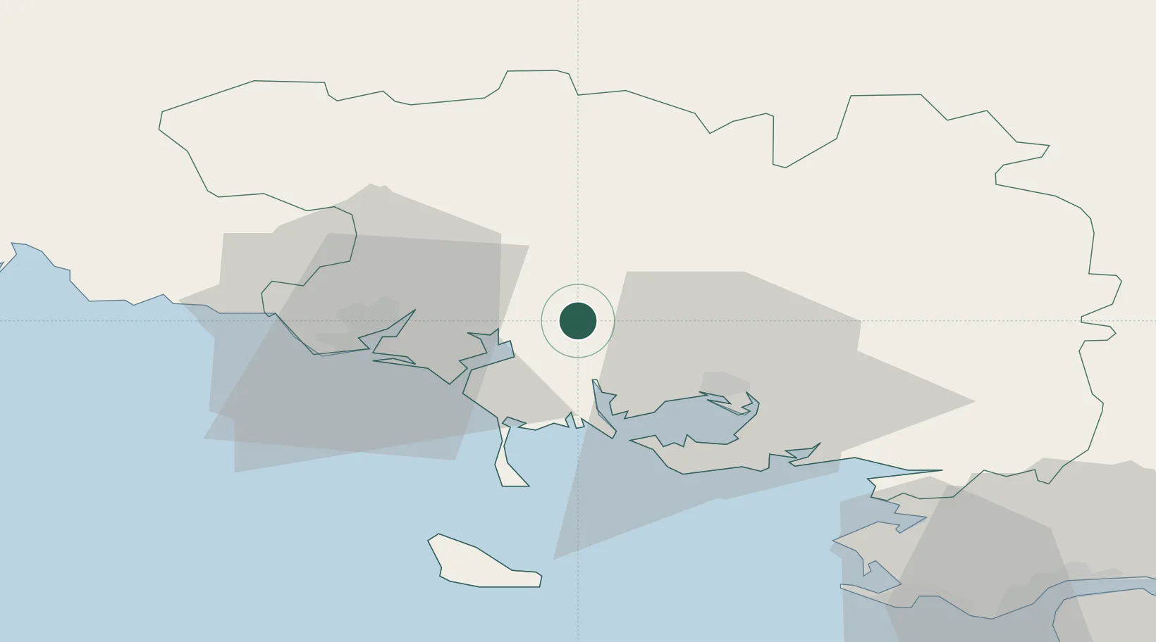
Nearby Logistics Neighbours

Cities
  1. 1Camors9 km
  2. 2Locoal-Mendon9 km
  3. 3Baud11 km
  4. 4Auray11 km
  5. 5Languidic15 km
Nearest neighbours — logibook spatial index (haversine) over the source coordinates
Ports
  1. 1Lorient26 km
  2. 2Concarneau69 km
  3. 3St Nazaire81 km
  4. 4Montoir83 km
  5. 5Donges87 km
Nearest neighbours — logibook spatial index (haversine) over the source coordinates
Airports
  1. 1Vannes-Meucon Airport22 km
  2. 2Lorient South Brittany (Bretagne Sud) Airport33 km
  3. 3Aérodrome de Belle Île51 km
  4. 4La Baule-Escoublac Airport72 km
  5. 5Saint-Nazaire-Montoir Airport81 km
Nearest neighbours — logibook spatial index (haversine) over the source coordinates
Trade Zones
  1. 1ZFU Saint-Nazaire77 km
  2. 2ZFU Nantes et Saint-Herblain115 km
  3. 3ZFU Angers183 km
  4. 4ZFU La Rochelle224 km
  5. 5ZFU Cherbourg-Octeville230 km
Nearest neighbours — logibook spatial index (haversine) over the source coordinates
DatabookThe Record of Consolidated Knowledge
France beyond logistics?
Browse databook

All Sources

LocationsUN/LOCODE
UN/LOCODE — free
LocationsGeoNames
CC BY 4.0
Portsthe NGA World Port Index
Public domain (US gov)
AirportsOurAirports
Public domain
Trade Zonesthe World Bank SEZ database
CC BY 4.0
Trade ZonesOpen Zone Map
CC BY
← France locations