UN/LOCODE hub · France
FRBMX

Baud

47.8667°, -3.0167°
5,206
Population
1
Transport functions

Transport Functions

Multimodal
UN/LOCODE

Hub Profile

Place type
Populated place
GeoNames
Region
Brittany
GeoNames
Population
5,206
GeoNames
Time zone
Europe/Paris
GeoNames
Elevation
79 m
GeoNames

Location

Location of FRBMX
Natural Earth 10m (public domain) · Brittany · FRBMX · 47.87, -3.02GoogleOSMYandex

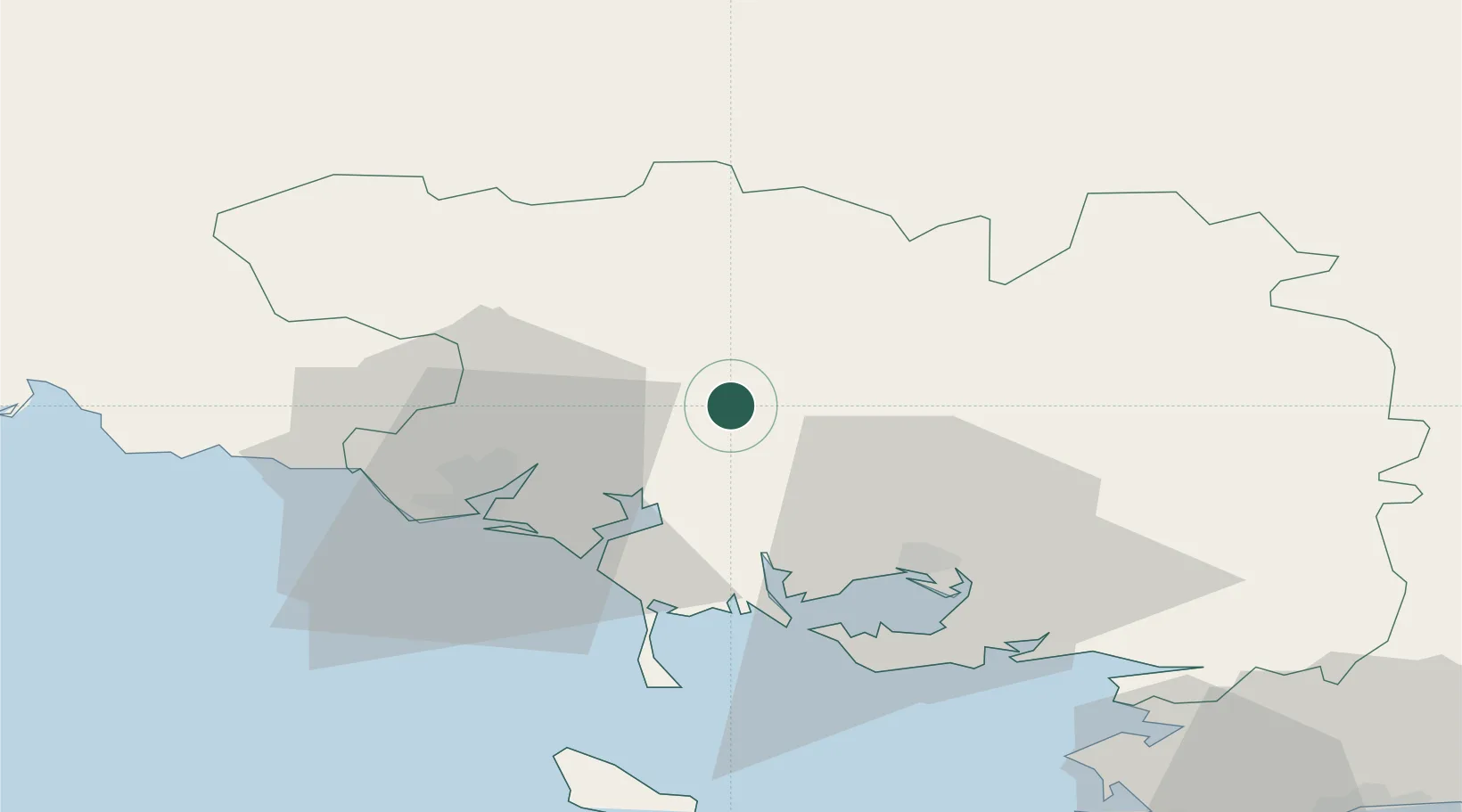
Nearby Logistics Neighbours

Cities
  1. 1Camors2 km
  2. 2Guénin5 km
  3. 3Pluvigner11 km
  4. 4Languidic12 km
  5. 5Locoal-Mendon18 km
Nearest neighbours — logibook spatial index (haversine) over the source coordinates
Ports
  1. 1Lorient28 km
  2. 2Concarneau67 km
  3. 3Le Legue77 km
  4. 4St Nazaire89 km
  5. 5Montoir91 km
Nearest neighbours — logibook spatial index (haversine) over the source coordinates
Airports
  1. 1Vannes-Meucon Airport27 km
  2. 2Lorient South Brittany (Bretagne Sud) Airport34 km
  3. 3Aérodrome de Belle Île62 km
  4. 4Saint-Brieuc-Armor Airport76 km
  5. 5La Baule-Escoublac Airport82 km
Nearest neighbours — logibook spatial index (haversine) over the source coordinates
Trade Zones
  1. 1ZFU Saint-Nazaire86 km
  2. 2ZFU Nantes et Saint-Herblain122 km
  3. 3ZFU Angers186 km
  4. 4ZFU Cherbourg-Octeville221 km
  5. 5ZFU La Rochelle234 km
Nearest neighbours — logibook spatial index (haversine) over the source coordinates
DatabookThe Record of Consolidated Knowledge
France beyond logistics?
Browse databook

All Sources

LocationsUN/LOCODE
UN/LOCODE — free
LocationsGeoNames
CC BY 4.0
Portsthe NGA World Port Index
Public domain (US gov)
AirportsOurAirports
Public domain
Trade Zonesthe World Bank SEZ database
CC BY 4.0
Trade ZonesOpen Zone Map
CC BY
← France locations