UN/LOCODE hub · France
FRZEG

Auray

47.6667°, -2.9833°
12,269
Population
1
Transport functions

Transport Functions

Multimodal
UN/LOCODE

Hub Profile

Place type
Populated place
GeoNames
Region
Brittany
GeoNames
Population
12,269
GeoNames
Time zone
Europe/Paris
GeoNames
Elevation
35 m
GeoNames

Location

Location of FRZEG
Natural Earth 10m (public domain) · Brittany · FRZEG · 47.67, -2.98GoogleOSMYandex

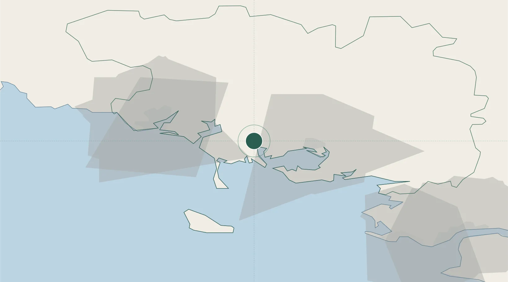
Nearby Logistics Neighbours

Cities
  1. 1Crach6 km
  2. 2Baden8 km
  3. 3La Trinité-sur-Mer10 km
  4. 4Locoal-Mendon10 km
  5. 5Larmor-Baden11 km
Nearest neighbours — logibook spatial index (haversine) over the source coordinates
Ports
  1. 1Lorient29 km
  2. 2St Nazaire73 km
  3. 3Concarneau73 km
  4. 4Montoir76 km
  5. 5Donges80 km
Nearest neighbours — logibook spatial index (haversine) over the source coordinates
Airports
  1. 1Vannes-Meucon Airport21 km
  2. 2Lorient South Brittany (Bretagne Sud) Airport36 km
  3. 3Aérodrome de Belle Île41 km
  4. 4La Baule-Escoublac Airport64 km
  5. 5Saint-Nazaire-Montoir Airport74 km
Nearest neighbours — logibook spatial index (haversine) over the source coordinates
Trade Zones
  1. 1ZFU Saint-Nazaire69 km
  2. 2ZFU Nantes et Saint-Herblain108 km
  3. 3ZFU Angers180 km
  4. 4ZFU La Rochelle215 km
  5. 5ZFU Le Mans235 km
Nearest neighbours — logibook spatial index (haversine) over the source coordinates
DatabookThe Record of Consolidated Knowledge
France beyond logistics?
Browse databook

All Sources

LocationsUN/LOCODE
UN/LOCODE — free
LocationsGeoNames
CC BY 4.0
Portsthe NGA World Port Index
Public domain (US gov)
AirportsOurAirports
Public domain
Trade Zonesthe World Bank SEZ database
CC BY 4.0
Trade ZonesOpen Zone Map
CC BY
← France locations