UN/LOCODE hub · France
FRQMO

Camors

47.8500°, -3.0000°
2,508
Population
2
Transport functions

Transport Functions

Road
Multimodal
UN/LOCODE

Hub Profile

Place type
Populated place
GeoNames
Region
Brittany
GeoNames
Population
2,508
GeoNames
Time zone
Europe/Paris
GeoNames
Elevation
113 m
GeoNames

Location

Location of FRQMO
Natural Earth 10m (public domain) · Brittany · FRQMO · 47.85, -3.00GoogleOSMYandex

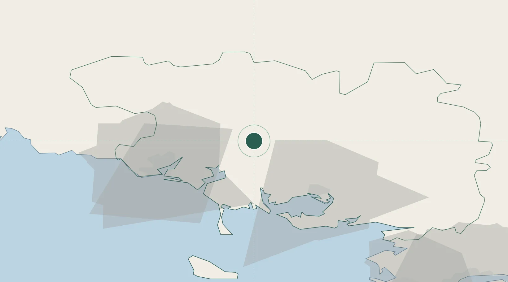
Nearby Logistics Neighbours

Cities
  1. 1Baud2 km
  2. 2Guénin6 km
  3. 3Pluvigner9 km
  4. 4Languidic13 km
  5. 5Locoal-Mendon17 km
Nearest neighbours — logibook spatial index (haversine) over the source coordinates
Ports
  1. 1Lorient28 km
  2. 2Concarneau68 km
  3. 3Le Legue78 km
  4. 4St Nazaire87 km
  5. 5Montoir89 km
Nearest neighbours — logibook spatial index (haversine) over the source coordinates
Airports
  1. 1Vannes-Meucon Airport25 km
  2. 2Lorient South Brittany (Bretagne Sud) Airport34 km
  3. 3Aérodrome de Belle Île60 km
  4. 4Saint-Brieuc-Armor Airport77 km
  5. 5La Baule-Escoublac Airport79 km
Nearest neighbours — logibook spatial index (haversine) over the source coordinates
Trade Zones
  1. 1ZFU Saint-Nazaire84 km
  2. 2ZFU Nantes et Saint-Herblain120 km
  3. 3ZFU Angers185 km
  4. 4ZFU Cherbourg-Octeville222 km
  5. 5ZFU La Rochelle232 km
Nearest neighbours — logibook spatial index (haversine) over the source coordinates
DatabookThe Record of Consolidated Knowledge
France beyond logistics?
Browse databook

All Sources

LocationsUN/LOCODE
UN/LOCODE — free
LocationsGeoNames
CC BY 4.0
Portsthe NGA World Port Index
Public domain (US gov)
AirportsOurAirports
Public domain
Trade Zonesthe World Bank SEZ database
CC BY 4.0
Trade ZonesOpen Zone Map
CC BY
← France locations