UN/LOCODE hub · France
FRQLD

Languidic

47.8333°, -3.1667°
7,000
Population
2
Transport functions

Transport Functions

Road
Multimodal
UN/LOCODE

Hub Profile

Place type
Populated place
GeoNames
Region
Brittany
GeoNames
Population
7,000
GeoNames
Time zone
Europe/Paris
GeoNames
Elevation
69 m
GeoNames

Location

Location of FRQLD
Natural Earth 10m (public domain) · Brittany · FRQLD · 47.83, -3.17GoogleOSMYandex

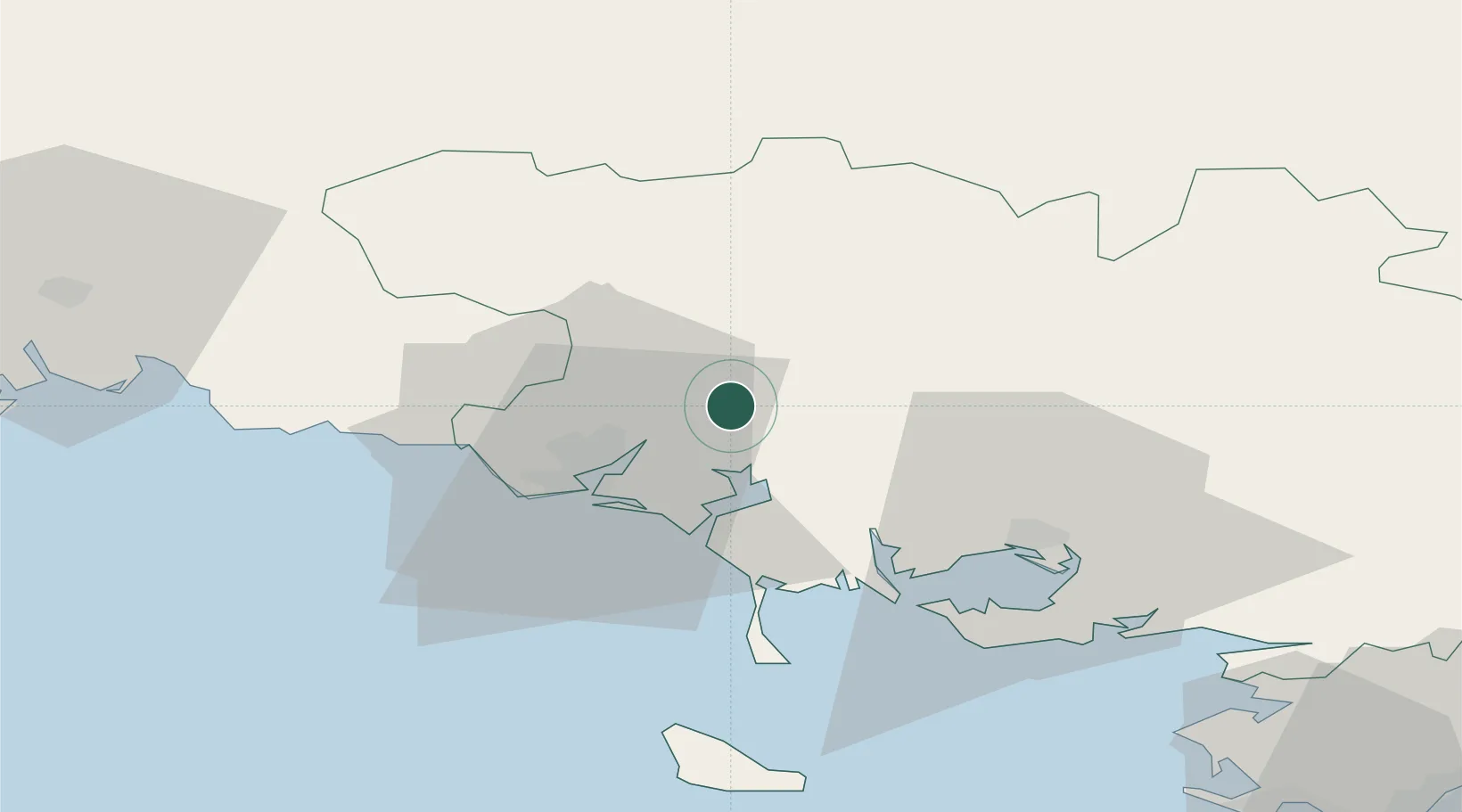
Nearby Logistics Neighbours

Cities
  1. 1Hennebont10 km
  2. 2Baud12 km
  3. 3Camors13 km
  4. 4Sainte-Hélène13 km
  5. 5Locoal-Mendon14 km
Nearest neighbours — logibook spatial index (haversine) over the source coordinates
Ports
  1. 1Lorient17 km
  2. 2Concarneau56 km
  3. 3Le Legue84 km
  4. 4St Nazaire95 km
  5. 5Morlaix97 km
Nearest neighbours — logibook spatial index (haversine) over the source coordinates
Airports
  1. 1Lorient South Brittany (Bretagne Sud) Airport22 km
  2. 2Vannes-Meucon Airport36 km
  3. 3Aérodrome de Belle Île57 km
  4. 4Quimper-Cornouaille Airport76 km
  5. 5Saint-Brieuc-Armor Airport82 km
Nearest neighbours — logibook spatial index (haversine) over the source coordinates
Trade Zones
  1. 1ZFU Saint-Nazaire91 km
  2. 2ZFU Nantes et Saint-Herblain129 km
  3. 3ZFU Angers196 km
  4. 4ZFU Cherbourg-Octeville229 km
  5. 5ZFU La Rochelle238 km
Nearest neighbours — logibook spatial index (haversine) over the source coordinates
DatabookThe Record of Consolidated Knowledge
France beyond logistics?
Browse databook

All Sources

LocationsUN/LOCODE
UN/LOCODE — free
LocationsGeoNames
CC BY 4.0
Portsthe NGA World Port Index
Public domain (US gov)
AirportsOurAirports
Public domain
Trade Zonesthe World Bank SEZ database
CC BY 4.0
Trade ZonesOpen Zone Map
CC BY
← France locations