UN/LOCODE hub · France
FROUI

Ouistreham

49.2833°, -0.2667°
9,067
Population
1
Transport functions

Transport Functions

Port
Ouistreham is also a profiled seaport →
UN/LOCODE

Hub Profile

Place type
Populated place
GeoNames
Region
Normandy
GeoNames
Population
9,067
GeoNames
Time zone
Europe/Paris
GeoNames
Elevation
12 m
GeoNames

Location

Location of FROUI
Natural Earth 10m (public domain) · Normandy · FROUI · 49.28, -0.27GoogleOSMYandex

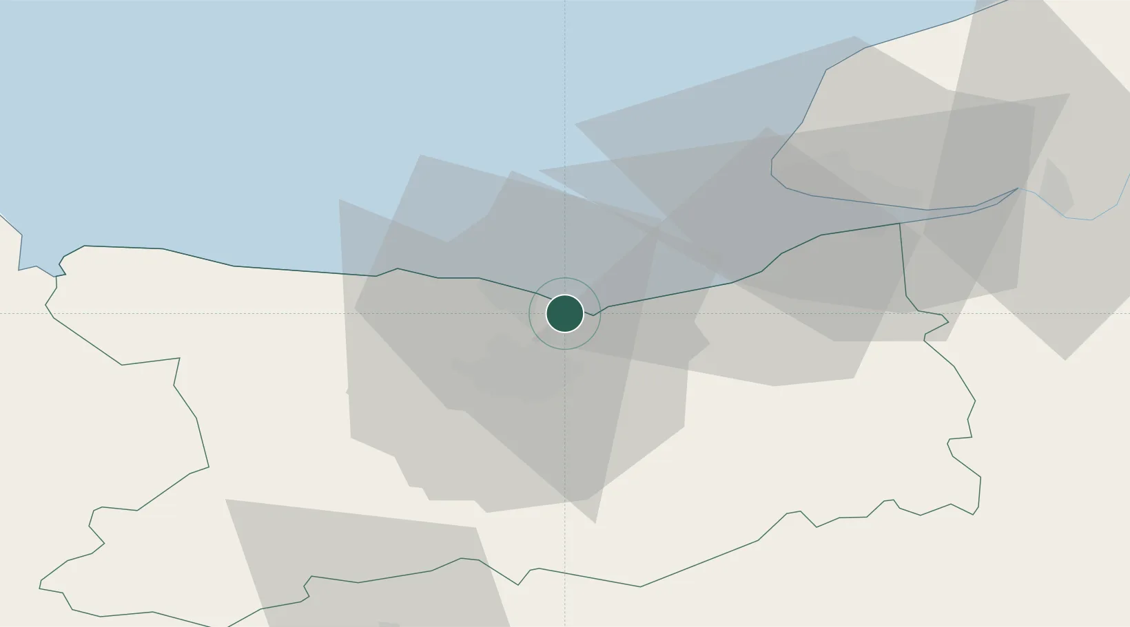
Nearby Logistics Neighbours

Cities
  1. 1Colleville-Montgomery2 km
  2. 2Lion-sur-Mer4 km
  3. 3Ranville6 km
  4. 4Cabourg11 km
  5. 5Bernières-sur-Mer12 km
Nearest neighbours — logibook spatial index (haversine) over the source coordinates
Ports
  1. 1Port De Caen13 km
  2. 2Deauville27 km
  3. 3Port Of Le Havre36 km
  4. 4Honfleur38 km
  5. 5Fecamp71 km
Nearest neighbours — logibook spatial index (haversine) over the source coordinates
Airports
  1. 1Caen Carpiquet airport18 km
  2. 2Deauville Normandie airport32 km
  3. 3Le Havre-Octeville Airport38 km
  4. 4Cherbourg Manche airport96 km
  5. 5Granville Airport104 km
Nearest neighbours — logibook spatial index (haversine) over the source coordinates
Trade Zones
  1. 1ZFU Hérouville-Saint-Clair11 km
  2. 2ZFU La Guérinière, La Grâce de Dieu15 km
  3. 3ZFU Le Havre37 km
  4. 4ZFU Alençon98 km
  5. 5ZFU Rouen Bihorel101 km
Nearest neighbours — logibook spatial index (haversine) over the source coordinates
DatabookThe Record of Consolidated Knowledge
France beyond logistics?
Browse databook

All Sources

LocationsUN/LOCODE
UN/LOCODE — free
LocationsGeoNames
CC BY 4.0
Portsthe NGA World Port Index
Public domain (US gov)
AirportsOurAirports
Public domain
Trade Zonesthe World Bank SEZ database
CC BY 4.0
Trade ZonesOpen Zone Map
CC BY
← France locations