UN/LOCODE hub · France
FRMGO
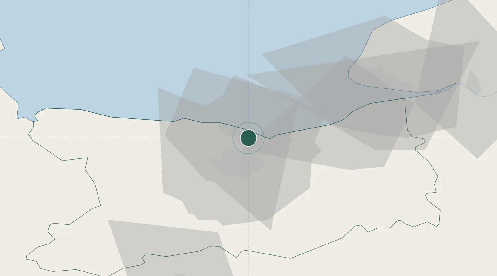
Colleville-Montgomery
49.2833°, -0.3000°
2,285
Population
1
Transport functions
Transport Functions
Multimodal
Hub Profile
Place type
Populated place
Region
Normandy
Population
2,285
Time zone
Europe/Paris
Elevation
13 m
Location
Nearby Logistics Neighbours
Cities
- 1Lion-sur-Mer2 km
- 2Ouistreham2 km
- 3Ranville7 km
- 4Bernières-sur-Mer10 km
- 5Fontaine-Henry11 km
Ports
- 1Ouistreham4 km
- 2Port De Caen12 km
- 3Deauville29 km
- 4Port Of Le Havre38 km
- 5Honfleur40 km
Airports
- 1Caen Carpiquet airport16 km
- 2Deauville Normandie airport34 km
- 3Le Havre-Octeville Airport40 km
- 4Cherbourg Manche airport94 km
- 5Granville Airport102 km
Trade Zones
- 1ZFU Hérouville-Saint-Clair10 km
- 2ZFU La Guérinière, La Grâce de Dieu14 km
- 3ZFU Le Havre39 km
- 4ZFU Alençon99 km
- 5ZFU Rouen Bihorel103 km
DatabookThe Record of Consolidated Knowledge
France beyond logistics?