UN/LOCODE hub · France
FRBM7
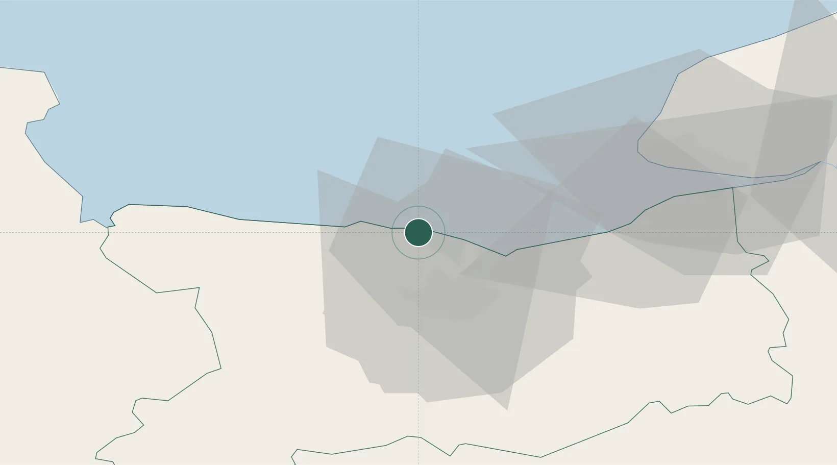
Bernières-sur-Mer
49.3333°, -0.4167°
1,972
Population
2
Transport functions
Transport Functions
Port
Road
Hub Profile
Place type
Populated place
Region
Normandy
Population
1,972
Time zone
Europe/Paris
Elevation
7 m
Location
Nearby Logistics Neighbours
Cities
- 1Fontaine-Henry6 km
- 2Lion-sur-Mer8 km
- 3Ver-sur-Mer9 km
- 4Colleville-Montgomery10 km
- 5Asnelles12 km
Ports
- 1Ouistreham13 km
- 2Port De Caen17 km
- 3Deauville36 km
- 4Port Of Le Havre42 km
- 5Honfleur47 km
Airports
- 1Caen Carpiquet airport18 km
- 2Deauville Normandie airport42 km
- 3Le Havre-Octeville Airport43 km
- 4Cherbourg Manche airport84 km
- 5Granville Airport97 km
Trade Zones
- 1ZFU Hérouville-Saint-Clair15 km
- 2ZFU La Guérinière, La Grâce de Dieu17 km
- 3ZFU Le Havre43 km
- 4ZFU Cherbourg-Octeville97 km
- 5ZFU Alençon107 km
DatabookThe Record of Consolidated Knowledge
France beyond logistics?