Transport Functions
Port
Road
Hub Profile
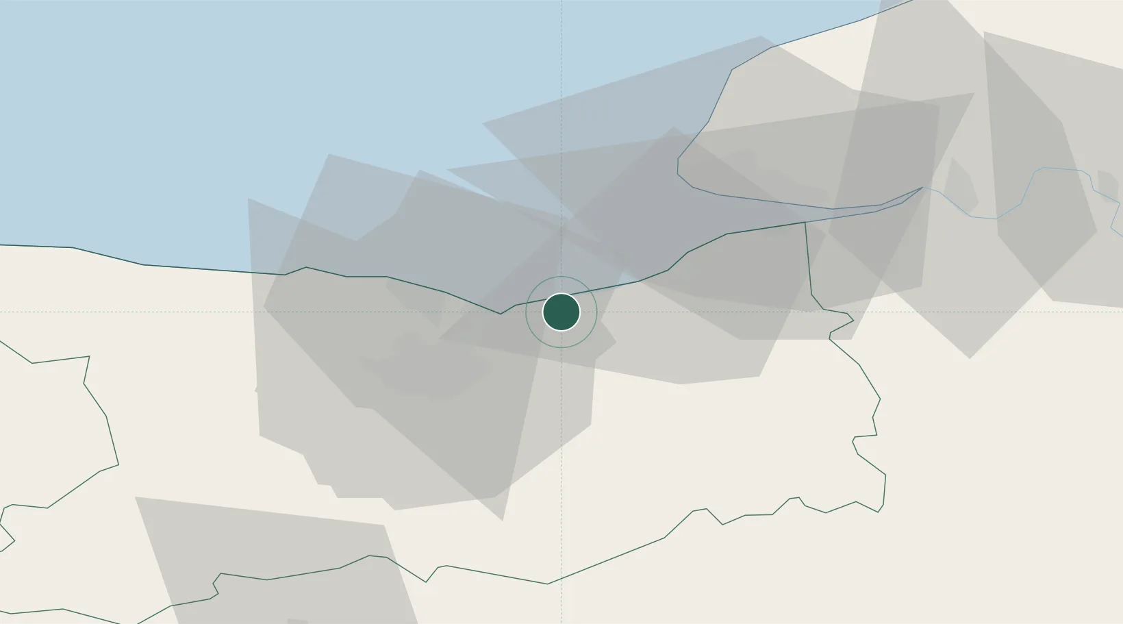
Place type
Populated place
Region
Normandy
Population
3,686
Time zone
Europe/Paris
Elevation
7 m
Location
Nearby Logistics Neighbours
Cities
- 1Ouistreham11 km
- 2Ranville11 km
- 3Colleville-Montgomery13 km
- 4Tourgéville14 km
- 5Lion-sur-Mer15 km
Ports
- 1Ouistreham10 km
- 2Deauville17 km
- 3Port De Caen20 km
- 4Port Of Le Havre28 km
- 5Honfleur28 km
Airports
Trade Zones
- 1ZFU Hérouville-Saint-Clair19 km
- 2ZFU La Guérinière, La Grâce de Dieu24 km
- 3ZFU Le Havre30 km
- 4ZFU Rouen Bihorel90 km
- 5ZFU Alençon96 km
DatabookThe Record of Consolidated Knowledge
France beyond logistics?