Transport Functions
Rail
Road
Hub Profile
Place type
Populated place
Region
Grand Est
Population
142
Time zone
Europe/Paris
Elevation
177 m
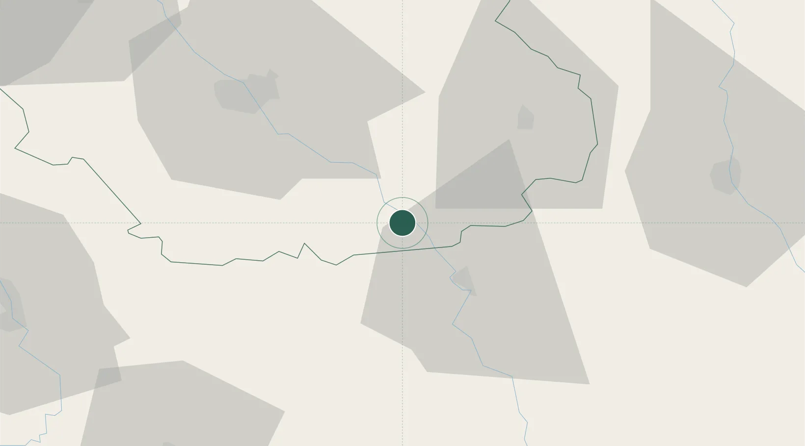
Location
Nearby Logistics Neighbours
Cities
- 1Gyé-sur-Seine2 km
- 2Neuville-sur-Seine4 km
- 3Buxeuil5 km
- 4Les Riceys6 km
- 5Gomméville8 km
Ports
- 1Bruxelles317 km
- 2Ghent343 km
- 3Antwerpen356 km
- 4Nieuwpoort367 km
- 5Bruges368 km
Airports
Trade Zones
DatabookThe Record of Consolidated Knowledge
France beyond logistics?