Transport Functions
Multimodal
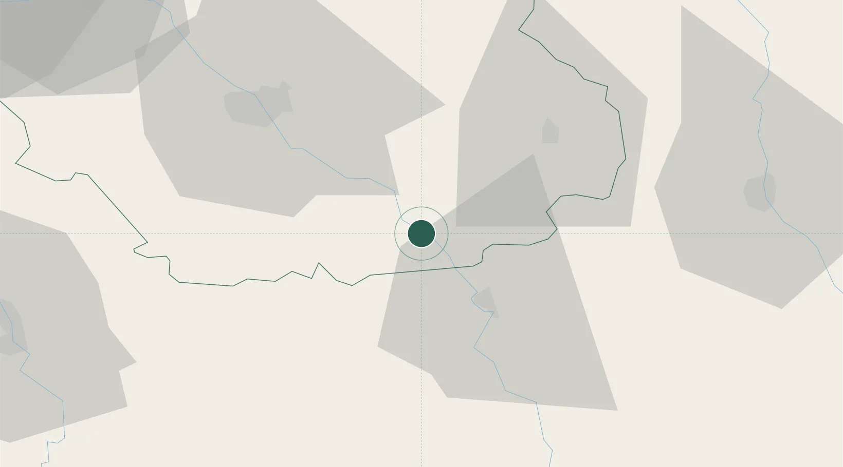
Hub Profile
Place type
Populated place
Region
Grand Est
Population
520
Time zone
Europe/Paris
Elevation
171 m
Location
Nearby Logistics Neighbours
Cities
- 1Courteron2 km
- 2Neuville-sur-Seine2 km
- 3Buxeuil3 km
- 4Celles-sur-Ource6 km
- 5Landreville6 km
Ports
- 1Bruxelles315 km
- 2Ghent341 km
- 3Antwerpen354 km
- 4Nieuwpoort365 km
- 5Bruges366 km
Airports
Trade Zones
DatabookThe Record of Consolidated Knowledge
France beyond logistics?