Transport Functions
Port
Road
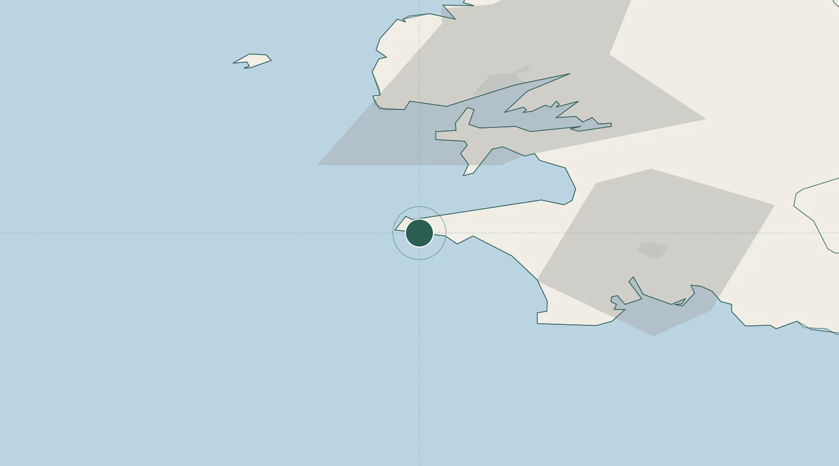
Hub Profile
Place type
Populated place
Region
Brittany
Population
1,649
Time zone
Europe/Paris
Elevation
60 m
Location
Nearby Logistics Neighbours
Cities
- 1Audierne8 km
- 2Île-de-Sein14 km
- 3Plozévet18 km
- 4Landudec24 km
- 5Pouldreuzic24 km
Ports
- 1Rade De Brest41 km
- 2Concarneau59 km
- 3Morlaix87 km
- 4Port De Roscoff-Bloscon93 km
- 5Lorient103 km
Airports
- 1Lanvéoc-Poulmic Air Base32 km
- 2Quimper-Cornouaille Airport38 km
- 3Brest Bretagne airport50 km
- 4Ouessant Airport56 km
- 5Landivisiau Air Base67 km
Trade Zones
DatabookThe Record of Consolidated Knowledge
France beyond logistics?