UN/LOCODE hub · France
FRIS4

Île-de-Sein

48.0333°, -4.8500°
1
Transport functions

Transport Functions

Port
UN/LOCODE

Hub Profile

Place type
Populated place
GeoNames
Region
Brittany
GeoNames
Time zone
Europe/Paris
GeoNames

Location

Location of FRIS4
Natural Earth 10m (public domain) · Brittany · FRIS4 · 48.03, -4.85GoogleOSMYandex

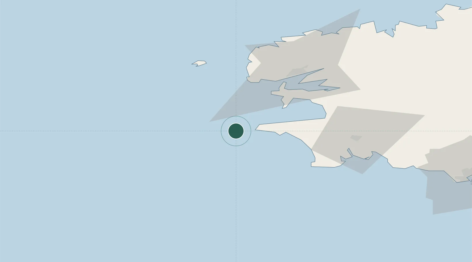
Nearby Logistics Neighbours

Cities
  1. 1Plogoff14 km
  2. 2Audierne21 km
  3. 3Plozévet32 km
  4. 4Plougonvelin35 km
  5. 5Pouldreuzic37 km
Nearest neighbours — logibook spatial index (haversine) over the source coordinates
Ports
  1. 1Rade De Brest47 km
  2. 2Concarneau72 km
  3. 3Morlaix97 km
  4. 4Port De Roscoff-Bloscon101 km
  5. 5Lorient116 km
Nearest neighbours — logibook spatial index (haversine) over the source coordinates
Airports
  1. 1Lanvéoc-Poulmic Air Base41 km
  2. 2Ouessant Airport50 km
  3. 3Quimper-Cornouaille Airport51 km
  4. 4Brest Bretagne airport56 km
  5. 5Landivisiau Air Base76 km
Nearest neighbours — logibook spatial index (haversine) over the source coordinates
Trade Zones
  1. 1ZFU Saint-Nazaire210 km
  2. 2ZFU Nantes et Saint-Herblain253 km
  3. 3Oceansgate Plymouth264 km
  4. 4Cornwall Newquay Aerohub Enterprise Zone267 km
  5. 5Heart of the South West Enterprise Zone268 km
Nearest neighbours — logibook spatial index (haversine) over the source coordinates
DatabookThe Record of Consolidated Knowledge
France beyond logistics?
Browse databook

All Sources

LocationsUN/LOCODE
UN/LOCODE — free
Portsthe NGA World Port Index
Public domain (US gov)
AirportsOurAirports
Public domain
Trade Zonesthe World Bank SEZ database
CC BY 4.0
Trade ZonesOpen Zone Map
CC BY
← France locations