Transport Functions
Multimodal
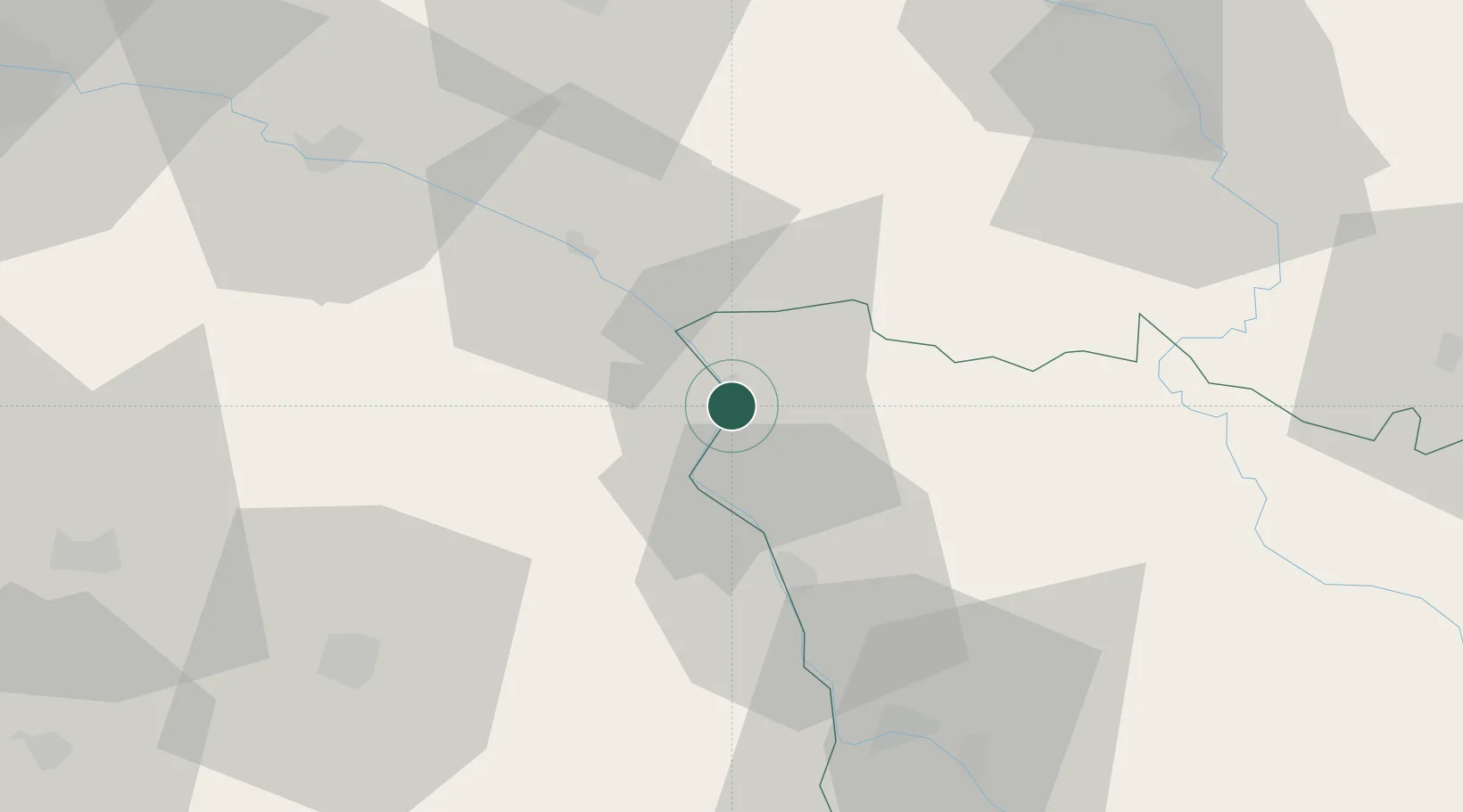
Hub Profile
Place type
Populated place
Region
Bourgogne
Population
558
Time zone
Europe/Paris
Elevation
148 m
Location
Nearby Logistics Neighbours
Cities
- 1Saint-Père3 km
- 2Cosne-Cours-sur-Loire4 km
- 3Léré6 km
- 4Bannay7 km
- 5Pougny8 km
Ports
- 1Port Of Rouen263 km
- 2Honfleur298 km
- 3Deauville301 km
- 4Port Of Le Havre308 km
- 5Dieppe309 km
Airports
- 1Avord (BA 702) Air Base48 km
- 2Nevers-Fourchambault Airport50 km
- 3Bourges airport59 km
- 4Auxerre Branches airport63 km
- 5Orléans-Bricy (BA 123) Air Base107 km
Trade Zones
- 1ZFU Bourges60 km
- 2ZFU Sens88 km
- 3ZFU Orléans95 km
- 4ZFU Montereau-Fault-Yonne106 km
- 5ZFU Melun125 km
DatabookThe Record of Consolidated Knowledge
France beyond logistics?