Transport Functions
Multimodal
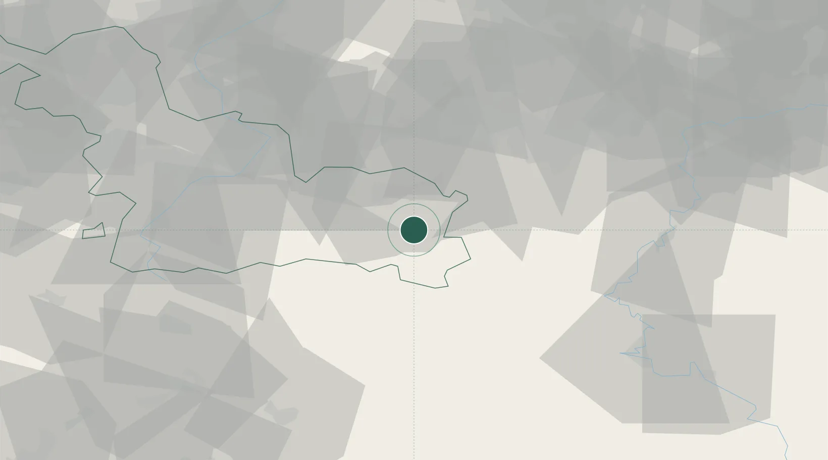
Hub Profile
Place type
Populated place
Region
Hauts-de-France
Population
1,454
Time zone
Europe/Paris
Elevation
176 m
Location
Nearby Logistics Neighbours
Cities
- 1Flaumont-Waudrechies5 km
- 2Trélon10 km
- 3Rousies13 km
- 4Hautmont13 km
- 5Boussois15 km
Airports
Trade Zones
DatabookThe Record of Consolidated Knowledge
France beyond logistics?