Transport Functions
Multimodal
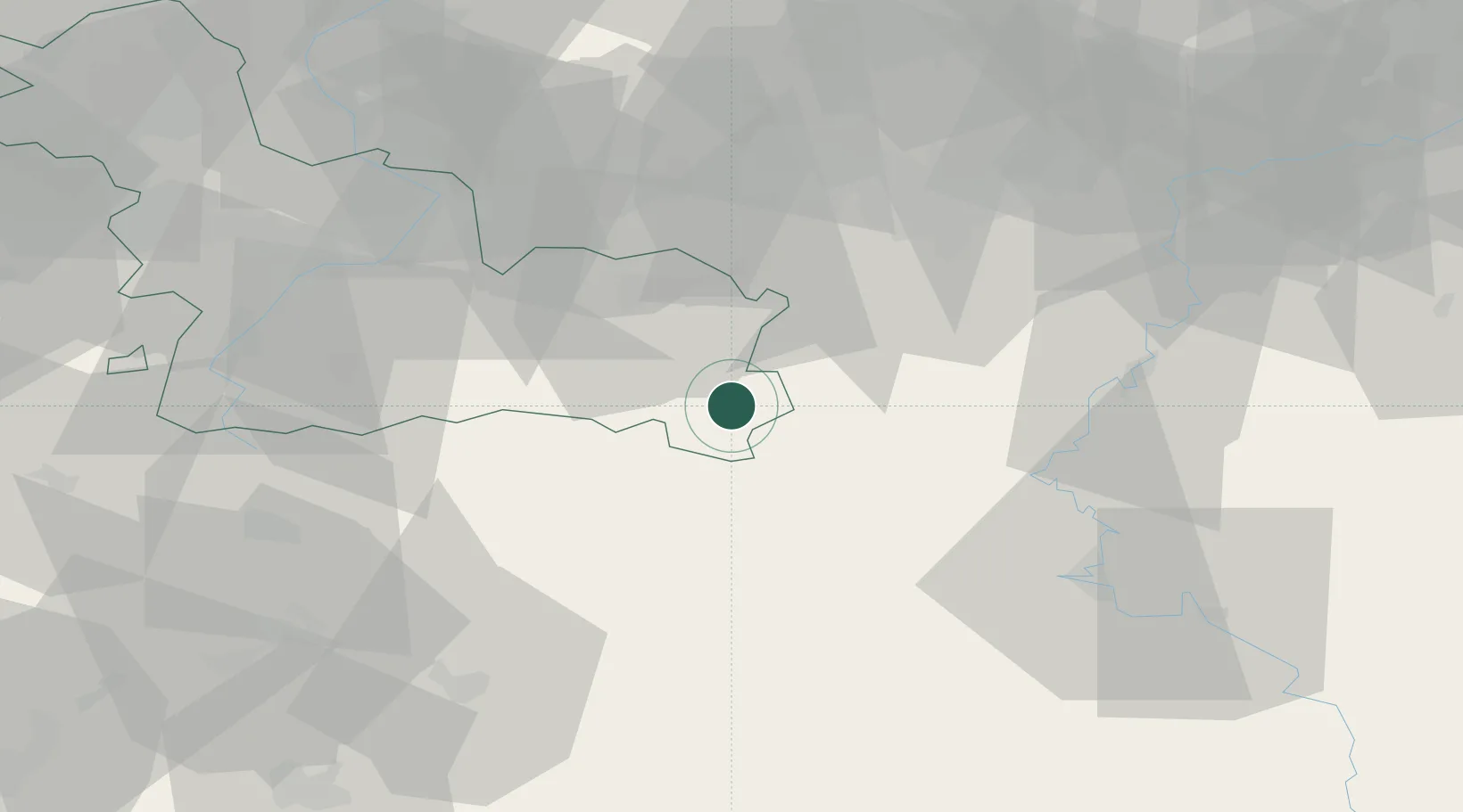
Hub Profile
Place type
Populated place
Region
Hauts-de-France
Population
2,941
Time zone
Europe/Paris
Elevation
208 m
Location
Nearby Logistics Neighbours
Cities
- 1Felleries10 km
- 2Salles11 km
- 3Flaumont-Waudrechies12 km
- 4Vaulx19 km
- 5Buironfosse22 km
Airports
Trade Zones
DatabookThe Record of Consolidated Knowledge
France beyond logistics?