Transport Functions
Multimodal
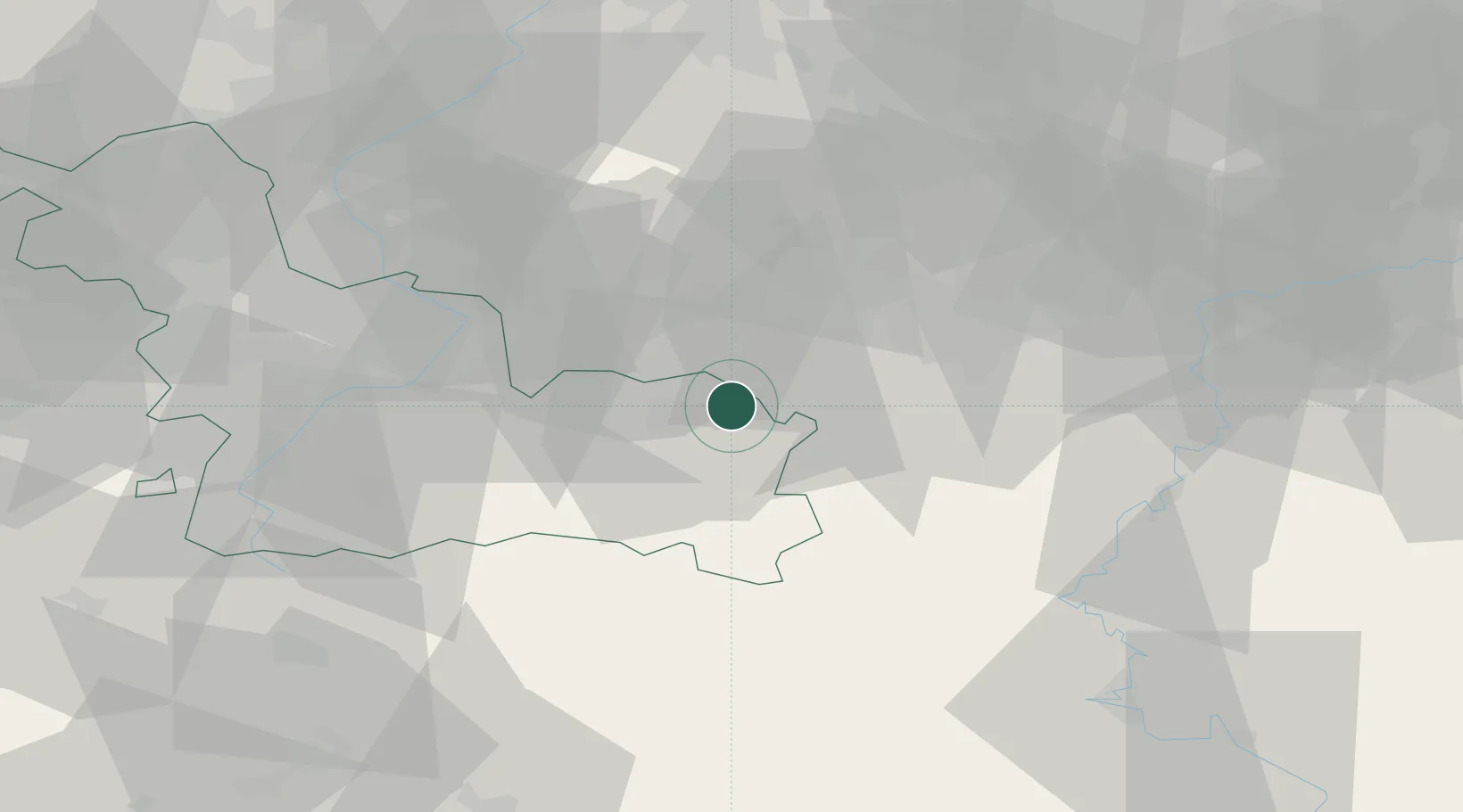
Hub Profile
Place type
Populated place
Region
Hauts-de-France
Population
3,553
Time zone
Europe/Paris
Elevation
125 m
Location
Nearby Logistics Neighbours
Cities
- 1Jeumont2 km
- 2Rousies4 km
- 3Erquelinnes5 km
- 4Maubeuge6 km
- 5Solre-sur-Sambre6 km
Airports
DatabookThe Record of Consolidated Knowledge
France beyond logistics?