Transport Functions
Rail
Road
Hub Profile
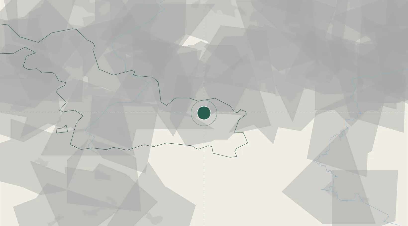
Place type
Populated place
Region
Hauts-de-France
Population
15,540
Time zone
Europe/Paris
Elevation
141 m
Location
Nearby Logistics Neighbours
Cities
- 1Maubeuge4 km
- 2Rousies5 km
- 3Aulnoye-Aymeries9 km
- 4Boussois9 km
- 5Pont-sur-Sambre9 km
Airports
- 1Valenciennes-Denain Airfield35 km
- 2Chièvres Air Base37 km
- 3Brussels South Charleroi Airport44 km
- 4Florennes Air Base51 km
- 5Lille Airport69 km
DatabookThe Record of Consolidated Knowledge
France beyond logistics?