Transport Functions
Rail
Road
Hub Profile
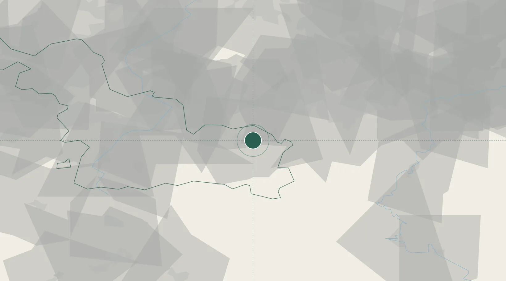
Place type
Populated place
Region
Hauts-de-France
Population
4,459
Time zone
Europe/Paris
Elevation
130 m
Location
Nearby Logistics Neighbours
Cities
- 1Maubeuge3 km
- 2Boussois4 km
- 3Hautmont5 km
- 4Jeumont6 km
- 5Bettignies8 km
Airports
DatabookThe Record of Consolidated Knowledge
France beyond logistics?