Transport Functions
Multimodal
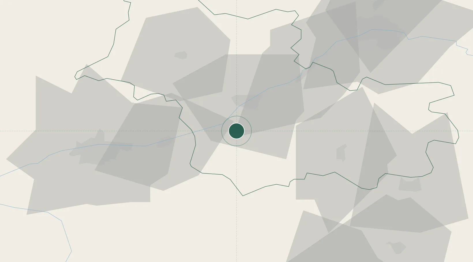
Hub Profile
Place type
Populated place
Region
Centre-Val de Loire
Population
526
Time zone
Europe/Paris
Elevation
77 m
Location
Nearby Logistics Neighbours
Cities
- 1Sambin4 km
- 2Fougères-sur-Bièvre4 km
- 3Candé-sur-Beuvron5 km
- 4Feings5 km
- 5Chitenay6 km
Ports
- 1Nantes218 km
- 2Port Of Rouen221 km
- 3Port De Caen227 km
- 4Deauville230 km
- 5Honfleur231 km
Airports
- 1Tours Val de Loire Airport43 km
- 2Châteaudun Airfield66 km
- 3Orléans-Bricy (BA 123) Air Base67 km
- 4Châteauroux Déols airport75 km
- 5Bourges airport93 km
Trade Zones
- 1ZFU Blois13 km
- 2ZFU Orléans61 km
- 3ZFU Bourges89 km
- 4ZFU Le Mans105 km
- 5ZFU Alençon141 km
DatabookThe Record of Consolidated Knowledge
France beyond logistics?