UN/LOCODE hub · France
FRCB2
Candé-sur-Beuvron
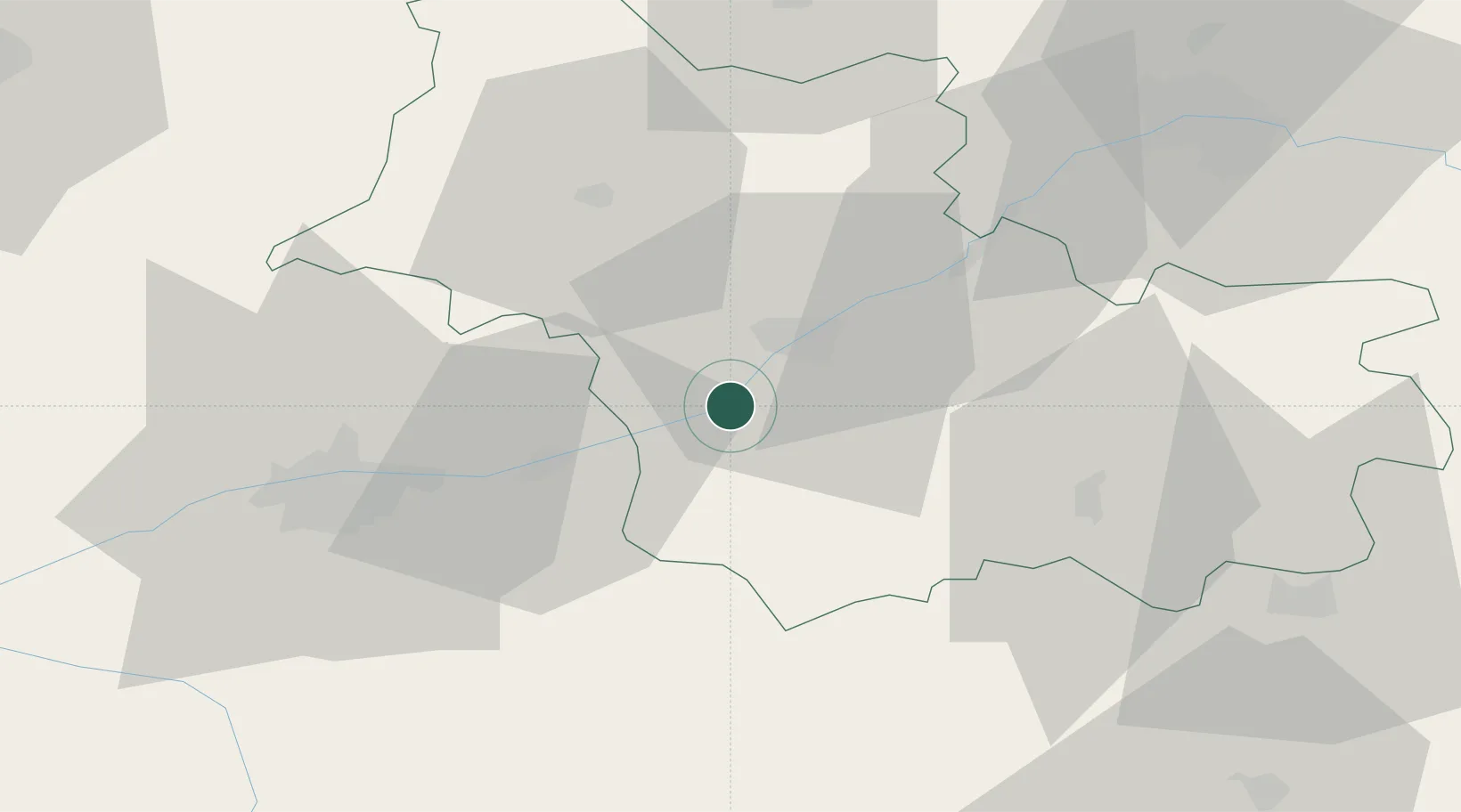
47.5000°, 1.2500°
1,258
Population
1
Transport functions
Transport Functions
Multimodal
Hub Profile
Place type
Populated place
Region
Centre-Val de Loire
Population
1,258
Time zone
Europe/Paris
Elevation
73 m
Location
Nearby Logistics Neighbours
Cities
- 1Monthou-sur-Bièvre5 km
- 2Sambin8 km
- 3Chitenay9 km
- 4Fougères-sur-Bièvre9 km
- 5Feings11 km
Ports
- 1Nantes215 km
- 2Port Of Rouen217 km
- 3Port De Caen221 km
- 4Deauville225 km
- 5Honfleur226 km
Airports
Trade Zones
- 1ZFU Blois9 km
- 2ZFU Orléans61 km
- 3ZFU Bourges94 km
- 4ZFU Le Mans100 km
- 5ZFU Alençon135 km
DatabookThe Record of Consolidated Knowledge
France beyond logistics?