Transport Functions
Multimodal
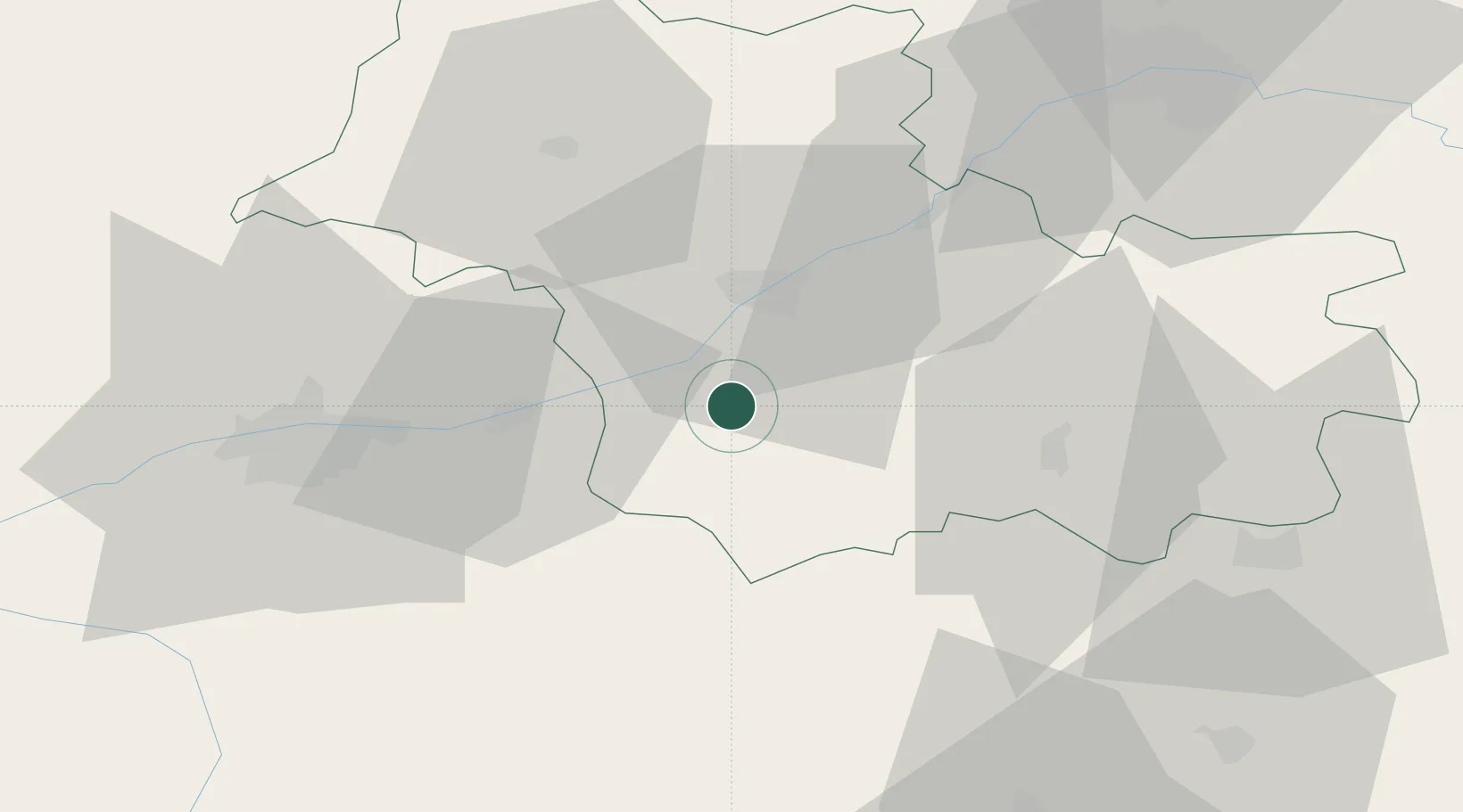
Hub Profile
Place type
Populated place
Region
Centre-Val de Loire
Population
743
Time zone
Europe/Paris
Elevation
103 m
Location
Nearby Logistics Neighbours
Cities
- 1Monthou-sur-Bièvre4 km
- 2Feings4 km
- 3Fougères-sur-Bièvre4 km
- 4Thenay6 km
- 5Pontlevoy7 km
Ports
- 1Nantes218 km
- 2Port Of Rouen225 km
- 3Port De Caen230 km
- 4Deauville233 km
- 5Honfleur235 km
Airports
- 1Tours Val de Loire Airport43 km
- 2Châteaudun Airfield70 km
- 3Orléans-Bricy (BA 123) Air Base71 km
- 4Châteauroux Déols airport72 km
- 5Bourges airport91 km
Trade Zones
- 1ZFU Blois17 km
- 2ZFU Orléans64 km
- 3ZFU Bourges87 km
- 4ZFU Le Mans107 km
- 5ZFU Angers143 km
DatabookThe Record of Consolidated Knowledge
France beyond logistics?