Transport Functions
Multimodal
Hub Profile
Place type
Populated place
Region
Centre-Val de Loire
Population
1,004
Time zone
Europe/Paris
Elevation
88 m
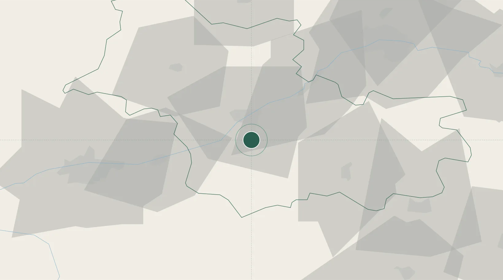
Location
Nearby Logistics Neighbours
Cities
- 1Cormeray3 km
- 2Cellettes4 km
- 3Fougères-sur-Bièvre6 km
- 4Monthou-sur-Bièvre6 km
- 5Cheverny8 km
Ports
- 1Port Of Rouen218 km
- 2Nantes224 km
- 3Port De Caen226 km
- 4Deauville228 km
- 5Honfleur229 km
Airports
- 1Tours Val de Loire Airport49 km
- 2Orléans-Bricy (BA 123) Air Base62 km
- 3Châteaudun Airfield62 km
- 4Châteauroux Déols airport76 km
- 5Bourges airport90 km
Trade Zones
- 1ZFU Blois12 km
- 2ZFU Orléans55 km
- 3ZFU Bourges86 km
- 4ZFU Le Mans107 km
- 5ZFU Dreux et Sainte-Gemme-Moronval139 km
DatabookThe Record of Consolidated Knowledge
France beyond logistics?