UN/LOCODE hub · France
FRFBI
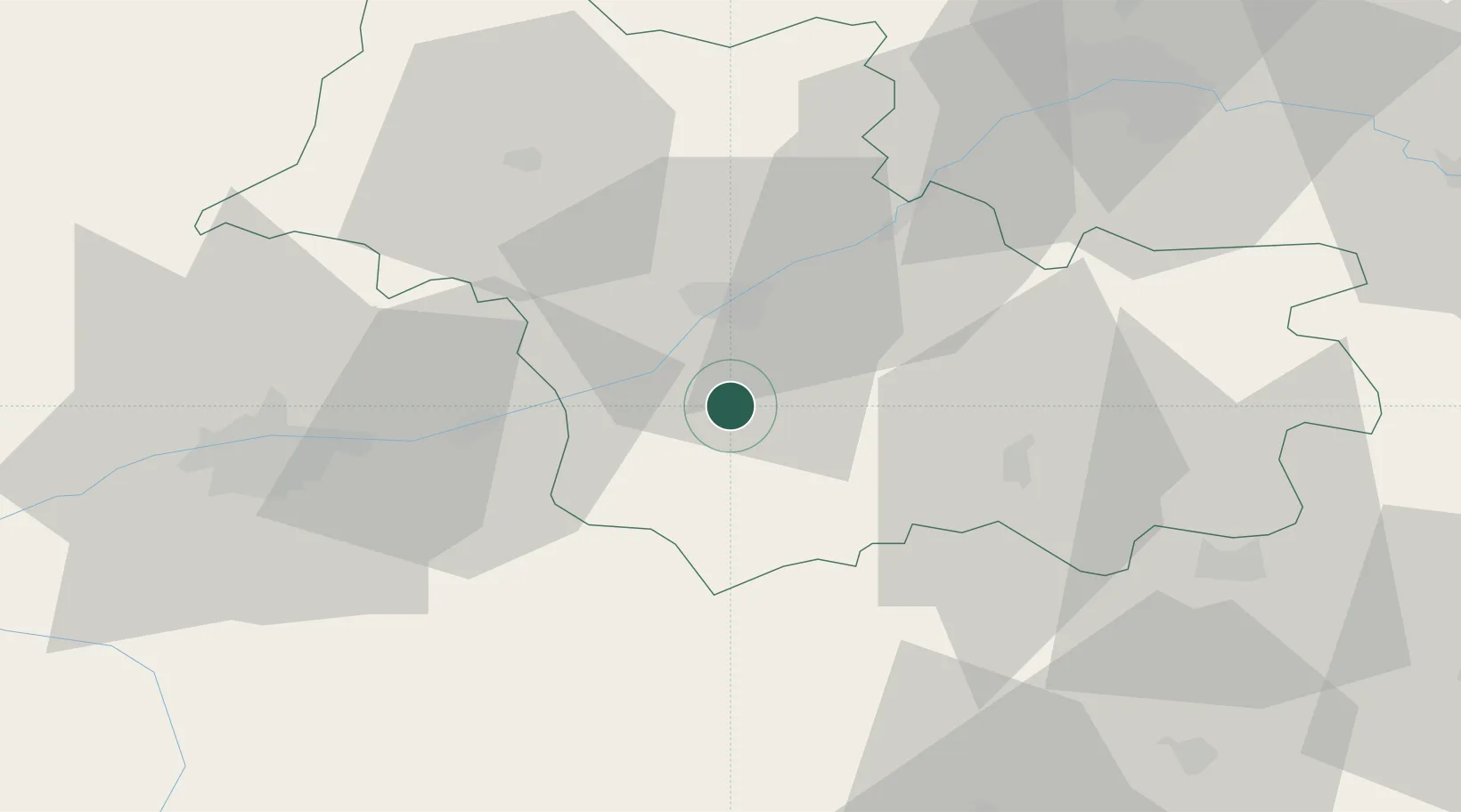
Fougères-sur-Bièvre
47.4500°, 1.3500°
708
Population
1
Transport functions
Transport Functions
Port
Hub Profile
Place type
Populated place
Region
Centre-Val de Loire
Population
708
Time zone
Europe/Paris
Elevation
86 m
Location
Nearby Logistics Neighbours
Cities
- 1Feings2 km
- 2Monthou-sur-Bièvre4 km
- 3Sambin4 km
- 4Cormeray5 km
- 5Fresnes5 km
Ports
- 1Nantes222 km
- 2Port Of Rouen223 km
- 3Port De Caen230 km
- 4Deauville233 km
- 5Honfleur234 km
Airports
- 1Tours Val de Loire Airport47 km
- 2Orléans-Bricy (BA 123) Air Base67 km
- 3Châteaudun Airfield68 km
- 4Châteauroux Déols airport72 km
- 5Bourges airport88 km
Trade Zones
- 1ZFU Blois16 km
- 2ZFU Orléans60 km
- 3ZFU Bourges85 km
- 4ZFU Le Mans109 km
- 5ZFU Alençon144 km
DatabookThe Record of Consolidated Knowledge
France beyond logistics?