UN/LOCODE hub · France
FRJOL

Jugon-les-Lacs

48.5333°, -1.9167°
1,416
Population
2
Transport functions

Transport Functions

Road
Multimodal
UN/LOCODE

Hub Profile

Place type
Populated place
GeoNames
Region
Brittany
GeoNames
Population
1,416
GeoNames
Time zone
Europe/Paris
GeoNames
Elevation
63 m
GeoNames

Location

Location of FRJOL
Natural Earth 10m (public domain) · Brittany · FRJOL · 48.53, -1.92GoogleOSMYandex

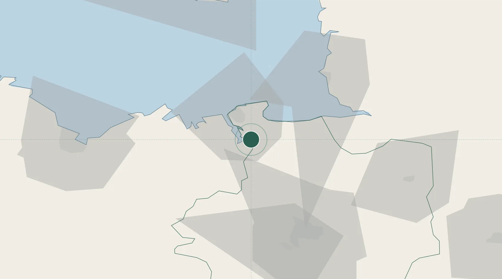
Nearby Logistics Neighbours

Cities
  1. 1Châteauneuf-d'Ille-et-Vilaine2 km
  2. 2Plerguer5 km
  3. 3Pleudihen-sur-Rance5 km
  4. 4Plouër-sur-Rance6 km
  5. 5Le Tronchet8 km
Nearest neighbours — logibook spatial index (haversine) over the source coordinates
Ports
  1. 1Saint-Malo15 km
  2. 2Granville41 km
  3. 3Le Legue61 km
  4. 4Saint Helier Harbour74 km
  5. 5Paimpol88 km
Nearest neighbours — logibook spatial index (haversine) over the source coordinates
Airports
  1. 1Dinard Pleurtuit Saint-Malo airport14 km
  2. 2Granville Airport47 km
  3. 3Rennes-Saint-Jacques Airport53 km
  4. 4Saint-Brieuc-Armor Airport69 km
  5. 5Jersey Airport78 km
Nearest neighbours — logibook spatial index (haversine) over the source coordinates
Trade Zones
  1. 1ZFU Cherbourg-Octeville125 km
  2. 2ZFU La Guérinière, La Grâce de Dieu132 km
  3. 3ZFU Hérouville-Saint-Clair137 km
  4. 4ZFU Saint-Nazaire142 km
  5. 5ZFU Nantes et Saint-Herblain146 km
Nearest neighbours — logibook spatial index (haversine) over the source coordinates
DatabookThe Record of Consolidated Knowledge
France beyond logistics?
Browse databook

All Sources

LocationsUN/LOCODE
UN/LOCODE — free
LocationsGeoNames
CC BY 4.0
Portsthe NGA World Port Index
Public domain (US gov)
AirportsOurAirports
Public domain
Trade Zonesthe World Bank SEZ database
CC BY 4.0
Trade ZonesOpen Zone Map
CC BY
← France locations