UN/LOCODE hub · France
FRVM6
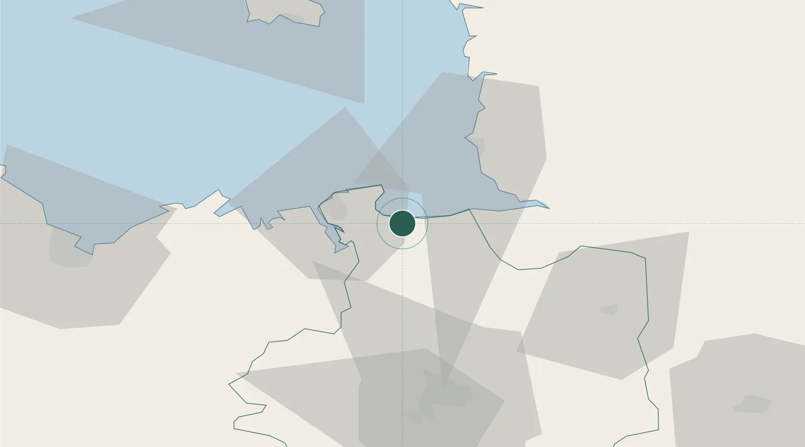
Le Vivier-sur-Mer
48.6000°, -1.7833°
1,097
Population
1
Transport functions
Transport Functions
Port
Hub Profile
Place type
Populated place
Region
Brittany
Population
1,097
Time zone
Europe/Paris
Elevation
9 m
Location
Nearby Logistics Neighbours
Cities
- 1Plerguer9 km
- 2Cancale11 km
- 3Châteauneuf-d'Ille-et-Vilaine11 km
- 4Jugon-les-Lacs12 km
- 5Saint-Coulomb13 km
Ports
- 1Saint-Malo18 km
- 2Granville29 km
- 3Saint Helier Harbour69 km
- 4Le Legue72 km
- 5Paimpol95 km
Airports
- 1Dinard Pleurtuit Saint-Malo airport22 km
- 2Granville Airport35 km
- 3Rennes-Saint-Jacques Airport59 km
- 4Jersey Airport74 km
- 5Saint-Brieuc-Armor Airport79 km
Trade Zones
- 1ZFU Cherbourg-Octeville116 km
- 2ZFU La Guérinière, La Grâce de Dieu120 km
- 3ZFU Hérouville-Saint-Clair125 km
- 4ZFU Alençon139 km
- 5ZFU Saint-Nazaire152 km
DatabookThe Record of Consolidated Knowledge
France beyond logistics?